
Via Francigena | 2 | What’s beyond Calais?
Via Francigena Part 2 route map | Calais ~ Guînes ~ Licques ~ Wisques ~ Thérouanne ~ Amettes ~ Camblain l’Abbe ~ Arras | Distance: …

Via Francigena Part 2 route map | Calais ~ Guînes ~ Licques ~ Wisques ~ Thérouanne ~ Amettes ~ Camblain l’Abbe ~ Arras | Distance: …
Via Francigena Part 1 route map | Canterbury ~ Womenswold ~ Shepherdswell ~ Dover | Distance: 35 km (35/1,900km)| Time (for us): 2 days | …
Walk: Jersey Coast Path | Distance: 48 miles | Ah, Jersey Jersey Jersey. If you don’t know it, this lovely Channel Island nestled just off …
Walk: The Coleridge Way | Distance: 51 miles, from Nether Stowey, Somerset, to Lynmouth, Devon, UK | Time: Four days | Day Three: Twelve miles, …
Walk: The Coleridge Way | Distance: 51 miles, from Nether Stowey, Somerset, to Lynmouth, Devon, UK | Time: Four days | Day One: Nether Stowey …
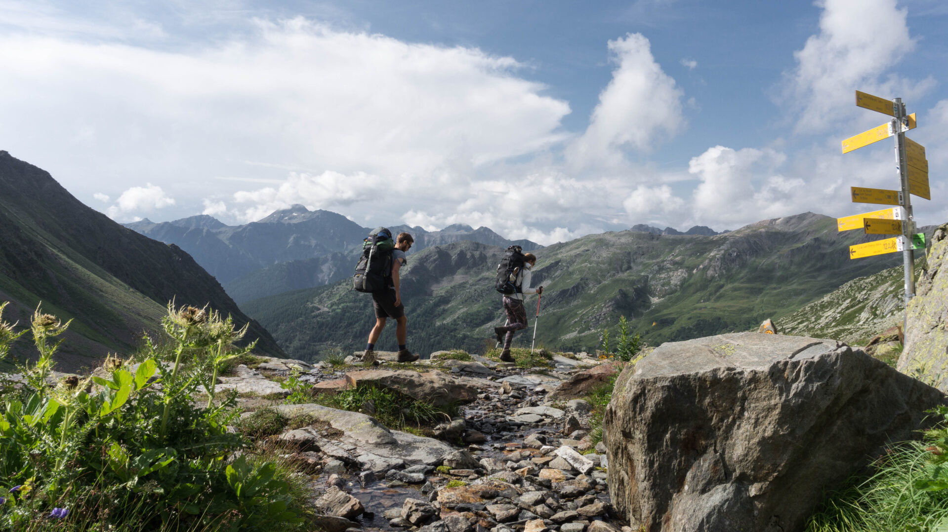
Walk: the Via Francigena (‘road through France’) | Distance: 2,000km (1,200 miles) | From: Canterbury, UK to Rome, Italy | Time: Four months (for us) …


