

Via Francigena Part 5 route map |
Baroville ~ Langres ~ Gy ~ Besançon ~ Ornans ~ Lods ~ Pontarlier ~ THE FRENCH BORDER |
Distance: 301km (876/1,900km) |
S l o w time: 14 days |
Ascent: 2,680m |
Wild woods | Jura Mountains | French Alpine villages |
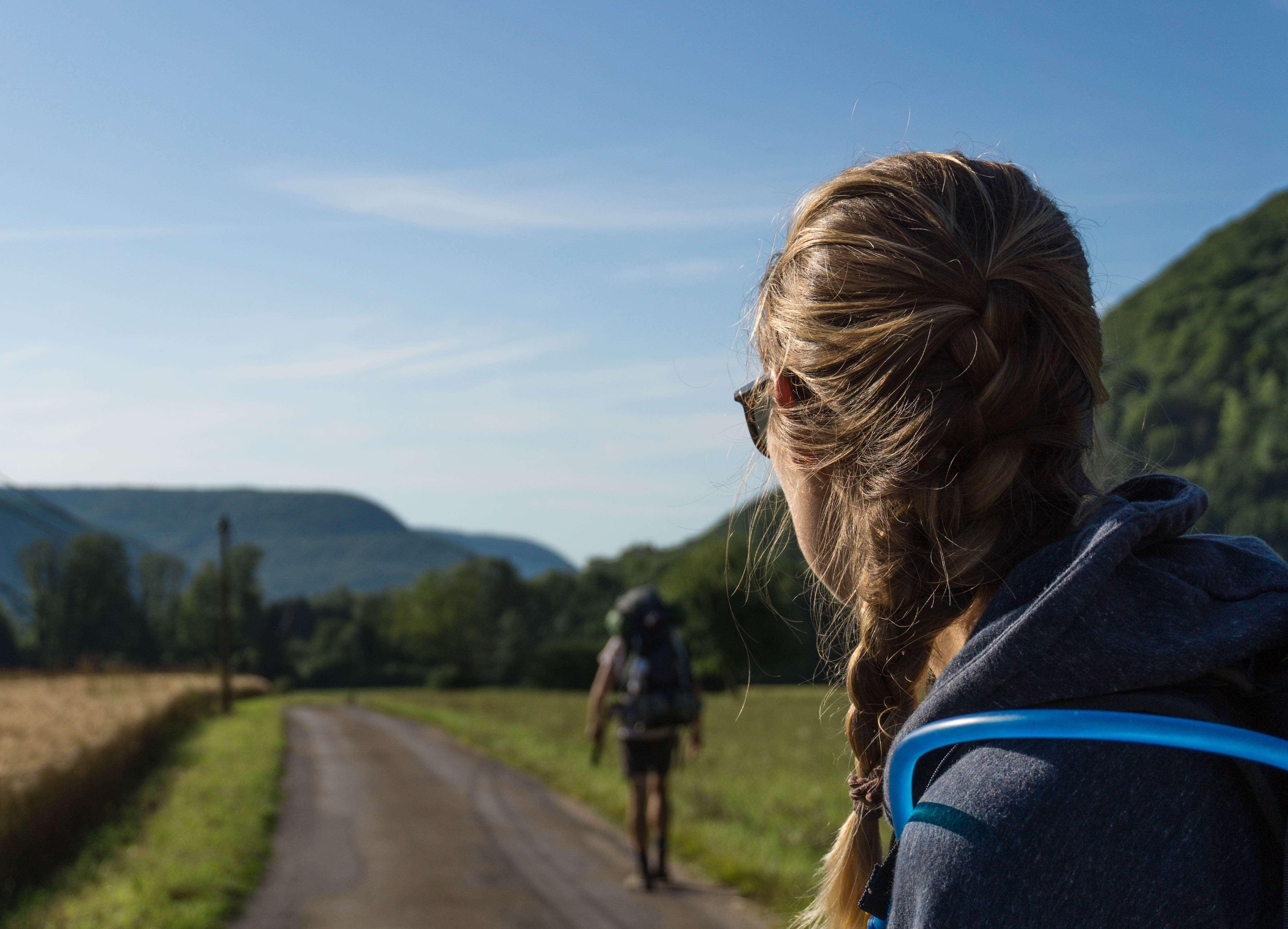
What’s exactly in the borderlands of France and Switzerland? We didn’t really know before, but walking something like the Via Francigena makes you a bit of a passing expert on the areas you travel through. Inescapably you see and experience every tiny thing – you can’t zone out, or fall asleep speeding through. Difficult or easy, workaday or spectacular, you are In It.
And so we can say with a little authority that heading over the French border is amazing hidden secret of France.
After waving goodbye to the wide, green clearings of Champagne we plunged into a wilder world, and huge areas of untamed woodland. Strange animals squealed in the dark, and hoof prints peppered the muddy ground.
The path became track, the track became grass, and we thrashed through odd overgrown sections, hoping no-one would think we were game and accidentally shoot us. But what good walking, far away from much of anything (even from the Via Francigena apparently, the signs having promptly disappeared), navigating only by guidebook.

Then everything became hillier and stuffier. Europe was hit by a giant heatwave and the woods were damp, hot places, filled with bugs. We stopped for ice lollies at every village, buying Rockets and Twisters for a Euro. It got too hot to camp, too hot to sleep – too hot to walk, really.

It was like that as we hiked up to Langres, one of these French towns that perch uncomfortably on the top of a hill (see Laon). Ah, pretty Langres though: it has a breezy, vacation vibe which we needed and enjoyed. That and just to sleep and eat.
Langres lays claims, as apparently everywhere does in France, to a famous son: Denis Diderot, author of the eighteenth century Encyclopédie. All streets wound up to the Place Diderot -his birthplace- festooned with bunting and flags. We walked around, up to Langres’ still intact medieval walls, and tried its special recipe tarte au fromage (cheesy, real cheesy).


In Langres, it suddenly felt like we had re-joined the pilgrim path. Our pilgrim passports were stamped, and we even found an impressive 12th century pilgrim hospital just outside the town. But this was maybe just because the Via Francigena had coincided with the Saint-Jacques pilgrim route. It still felt like we were flying under the radar walking the VF.

The weather broke as we carried on along to the city of Besançon and into the département of Doubs. We got soaked walking to Gy, thunder ripping and rolling. But going down the pilgrim rabbit hole again got us a secret pilgrim gîte set above the street. We stowed up there, drinking coffee and drying off.


The stormy weather kept up as we staggered into Besançon after two long, wet days. Walking into cities isn’t that fun you know: you inevitably have to navigate industrial parks, busy roads, endless suburbs.
But getting into them is great, and Besançon is an arty city of tall stone houses, surrounded by the River Doubs and wooded hills beyond. We found small shops and cafes to sit in and wait out the rain, and the gentlefolks ding of the tram soon becomes a familiar sound.
Oh and of course you need to know it has a famous resident: Victor Hugo, author of Les Misérables.


Besançon has a tucked away, un-touristy feel, with unexplored trails leading up into its hills – hills like we’d never seen before on the VF. Besançon’s citadelle sits high up in them and we hiked up for views of the city and the Doubs below. An explorer’s city!
Once we left, the weather turned hot and sunny again. Cows followed us everywhere, their bells tinkling, and CONSTANT flies. These new hills slowed us up – everything had been just so flat before. And it was with a jolt that we realised these really were the foothills of the Jura Mountains, the ancient mountain range separating France and Switzerland, and the first mountains on the route!

This was seriously so exciting. The village of Ornans had actual cliffs either side of its higgledy-piggledy streets, houses over hanging the river. And OBVIOUSLY it has a famous person: the artist Gustave Courbet is buried there. He must’ve liked its rickety beauty too.

And beyond Ornans, mountains! And here’s a secret: although you do get some sweaty ups, the Via Francigena route basically goes between them all, giving 100% views for slightly less effort. A beautiful example was Lods, built into the Jura mountains and the perfect picture of an Alpine town.

Really though, the best part of this whole section of the Via Francigena to the French border was hiking the gorge of the River Loue, up to its crashing source.
If we could pick a day walk near the French border, it would be here, walking up to the source of the River Loue.
Starting early, we walked through shady mountain villages after Lods and joined the river. Narrow, the path climbed upwards with the river below, between mossy trees and in and out of the sun line. It was deserted, steep and like walking some amazing jungly ancient world.


Hauling ourselves up to the top we found the gushing river source, dark and gaping in the cliff-face. There were coaches of tourists and school kids mulling around, out on day trips to see the river. It’s fun to walk around with sightseers, knowing we walked from Canterbury to be here. How different the experience of a place is when you’ve done that…

After the hike, the town of Pontarlier was the last stop before the French border. Fun fact: it’s the home of absinthe. We actually passed the beautiful distillery of its inventor, surrounded by hills and still the proud keepers of the (now legal) green fairy:

And ahead the French border. The crossing was surprisingly hard to find, and turned out to be a single sandy track, lined with logs – and nothing else. One moment in France and the next Switzerland, just like that. Maybe because there’s no fanfare, it felt even more surreal. We like France, and were sad to say goodbye – it’s been fun, varied and easy to travel through. And we would miss it: wide, green spaces, cheap coffee bars and campsites, and friendly people who took care of us on more than one occasion.

But we had walked France, how unbelievable! You can spend a lot of time wondering how you’ll do something, and while you’re busy worrying it just happens anyway. We’re doing it, we’re actually walking to Rome! Walking these intense days, full of adventures and odd things and hard work and beauty. Like we said, when you walk you’re really, really There.
And that There is now Switzerland!

Utterly engrossing blog with fascinating photographs guys. We’re you challenged at the border or did you present your passports to each other?
There was a small cutting in a typical stock-proof fence that we just strolled through, just like the livestock because the field was empty…
Thanks for reading Anthony!
Hi guys
I walked from Canterbury to Besancon in September/October 2017 and in August 2019 I will walk the next section to the Italian border. Between these 2 walks I have managed to walk the Portuguese Coastal Camino so busy. I walk for Cancer Queensland. The last sections I guess will be in 2020. Must keep busy
Howdy! Your blog encouraged us to walk from Fidenza to Rome. Which we did this year, in July and August. It was hot and challenging and oh so wonderful. We are now in the early days of planning our next trip to walk Besançon to Ivrea! Your blog is a gift that keeps on giving…thanks for sharing your adventures and seeding new ideas for great travel adventures.
Hi there, that’s great to hear! That would’ve been very hot walking up and over the Appennines and through Tuscany. Great also to hear you’re going to do Besançon to Ivrea (the other two mountain ranges!). Loved the Jura, the Lavaux is a dreamland and the Alps, well they speak for themselves. Any questions, let us know. Thank you for the message,
L&N