Via Francigena Part 7 route map |
Saint Maurice ~ Martigny ~ Sembrancher ~ Orsières ~ Bourg-St-Pierre ~ Great St Bernard Pass Hospice |
Distance: 91km (1,057/1,900km) |
S l o w time: 6 days |
River Rhone | Rugged walking trails | Mountain marmots | Whatever is 2,473m above sea level | The Swiss – Italian border |
‘It’s not climbing over the Alps. It’s just, like, going through them.’
This is how we squared it with ourselves when we first looked at the whole Via Francigena on a map, our fingers gliding over the wrinkled area that read ‘A L P S’. The route ascends 2,469m to the Great St Bernard Pass, the oldest pass in the whole mountain range (Napoleon took it). It’s also pretty much halfway to Rome from Canterbury. Soooo, walking the Alps was a Pretty Big Deal.
But what would it be like? Would we like it? Would it snow? What if we fell down a ravine, or off some precipice? And walking the Alps, with our bags, really? Giant question marks.
But funnily enough, walking the Alps became for us the most precious of life experiences: one where you push on, even though you don’t want to, and you don’t die but actually get to explore and ACHIEVE.
So all this started with us leaving the blissful Lac Léman, feeling actual nerves at the sight of the looming mountains ahead. And we were quickly engulfed by them, like they had moved in behind us and closed the narrow gap we had walked through. Disconcerting, but not that it mattered that much: we couldn’t go back, so on we went.
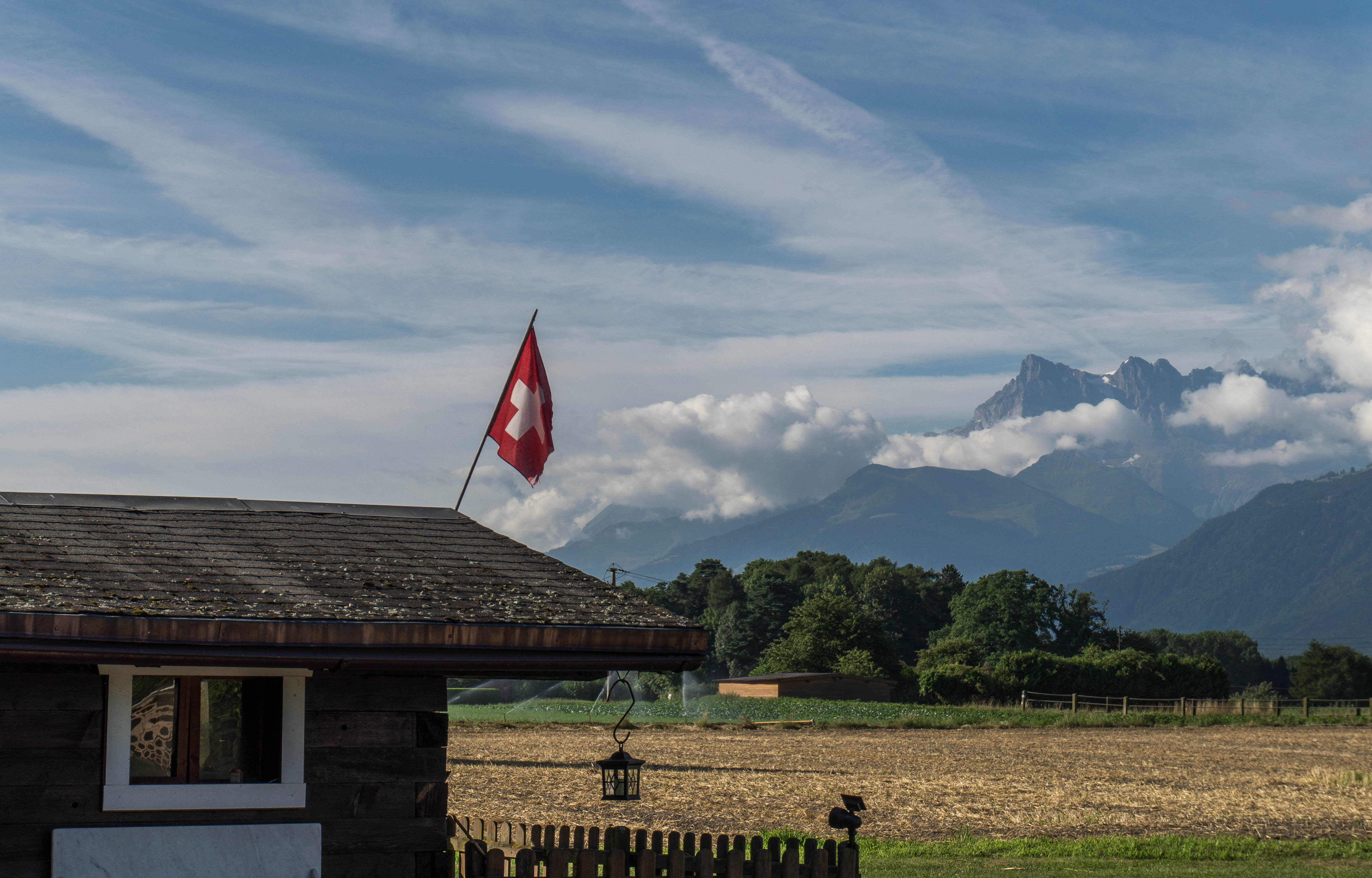
We followed the River Rhône, fast flowing and chalky blue, and soon hit two cheery mountain villages, Saint Maurice and then Martigny. They were lovely old places, connected to everywhere else by swish Swiss trains.
And Importantly Martigny has a museum all about (and seemingly staffed by) the St Bernard dogs.
We were worried though about the next section. Someone had said to us disturbingly it was ‘the worst part of the whole Via Francigena’. There were rumours of rock scrambles, narrow ledges, and other pilgrims giving up and catching the train instead.
But we noticed our guidebook (reluctantly) suggested another route, one that pointlessly ascended and then descended the nearest mountain. Walkers hate this: losing all your elevation after sweating to get all that gain. But it meant we could swerve the whole ‘some walkers may find this dangerous’ part. We struck off on it immediately.
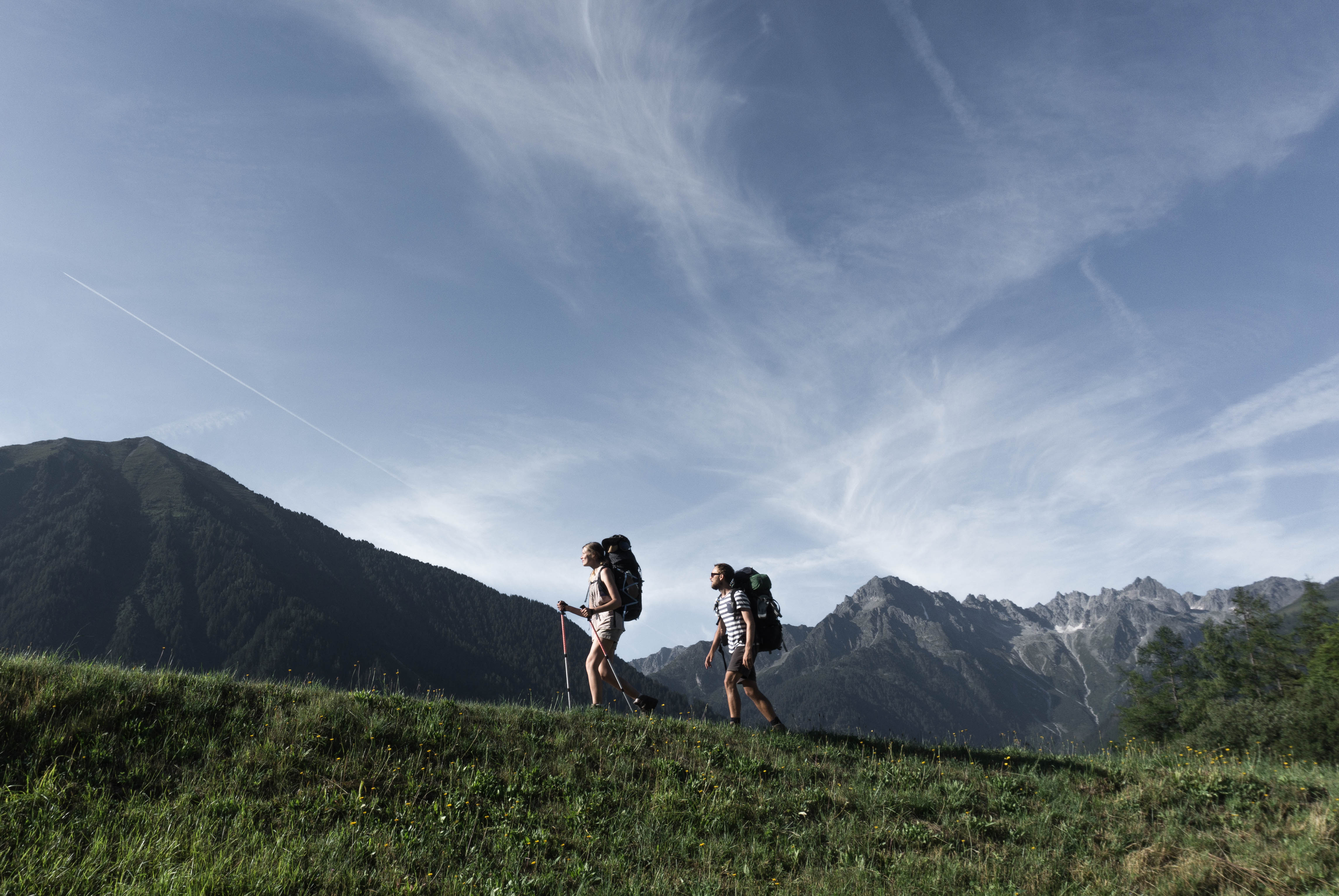
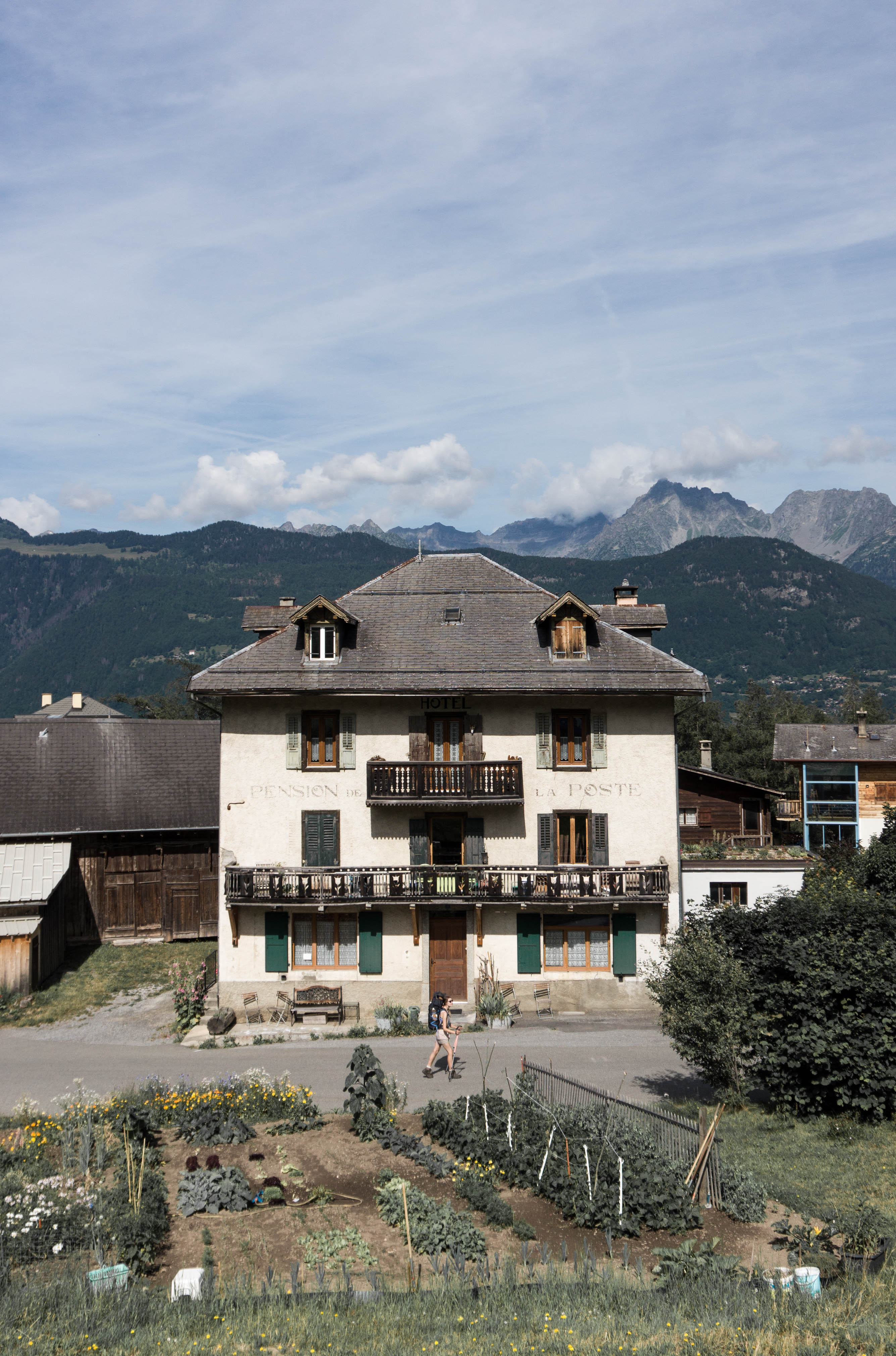
And it was the BEST decision we made on our whole journey walking the Alps. Early morning steep climbs led out to panoramic views above Martigny and the whole shady valley. It was there that the sheer beauty of the place began to unveil itself – we began to like it. Upwards some more and we came to a rickety old Alpine village with hotel, sunshine yellow and selling homemade brownies. Now these climbs weren’t easy, but we hauled ourselves up, step by step, sitting on our bags when we needed a break, not looking too far ahead. And buying those homemade brownies cos we really, really needed them.
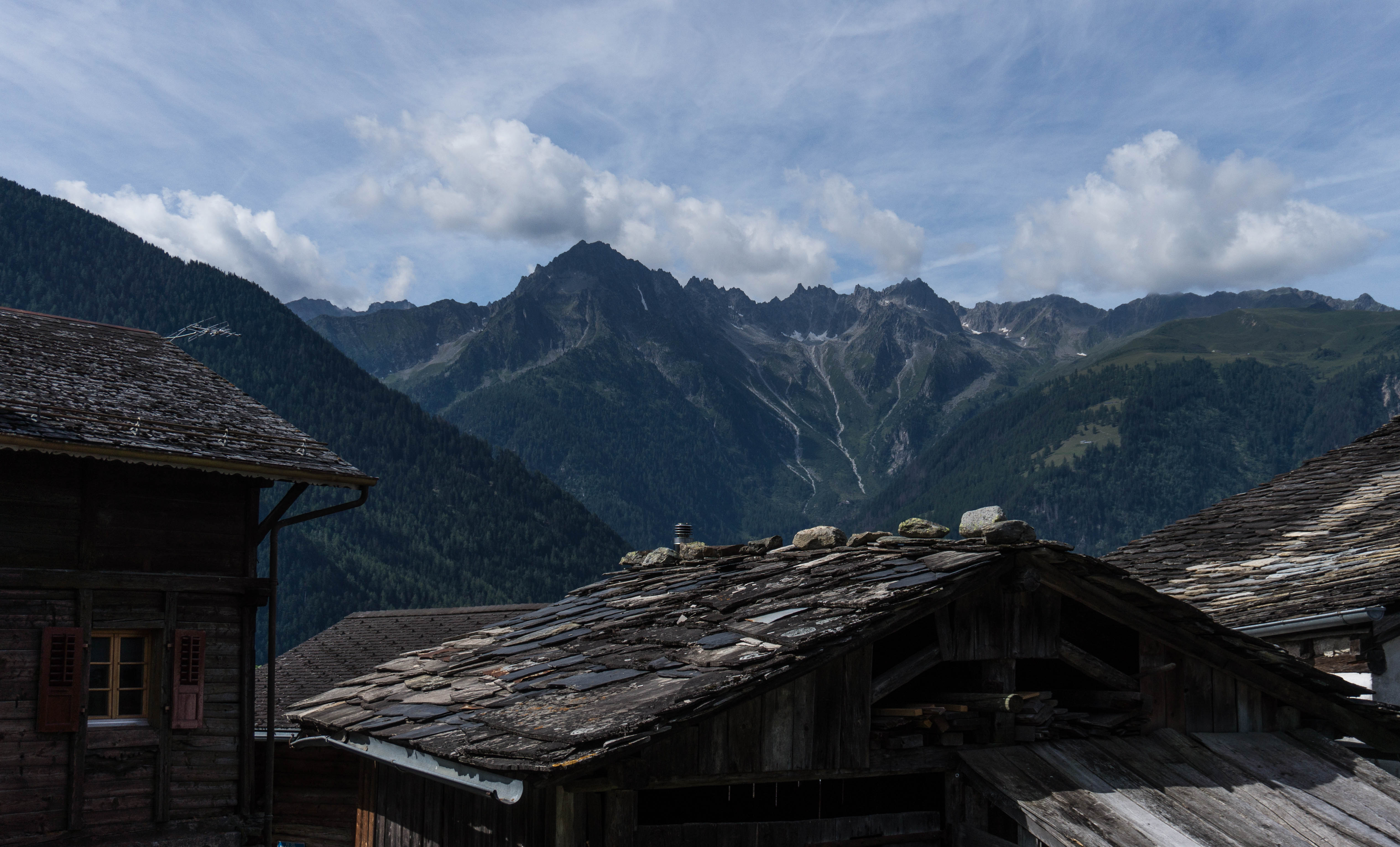
Then, following paths through soft pine forests we came out to a plateau where cows grazed, and towering mountains surrounded us. That day was warm -not hot- and the grass was a pale gold. We just stopped and enjoyed the sight, the air, the height. It was unbelievably gorgeous, and it was here that we started to LOVE it.
Any VF pilgrims: we would seriously recommend this route as an alternative way to get from Martigny onward (you can follow it on the map above). It made walking the Alps SO much more enjoyable!
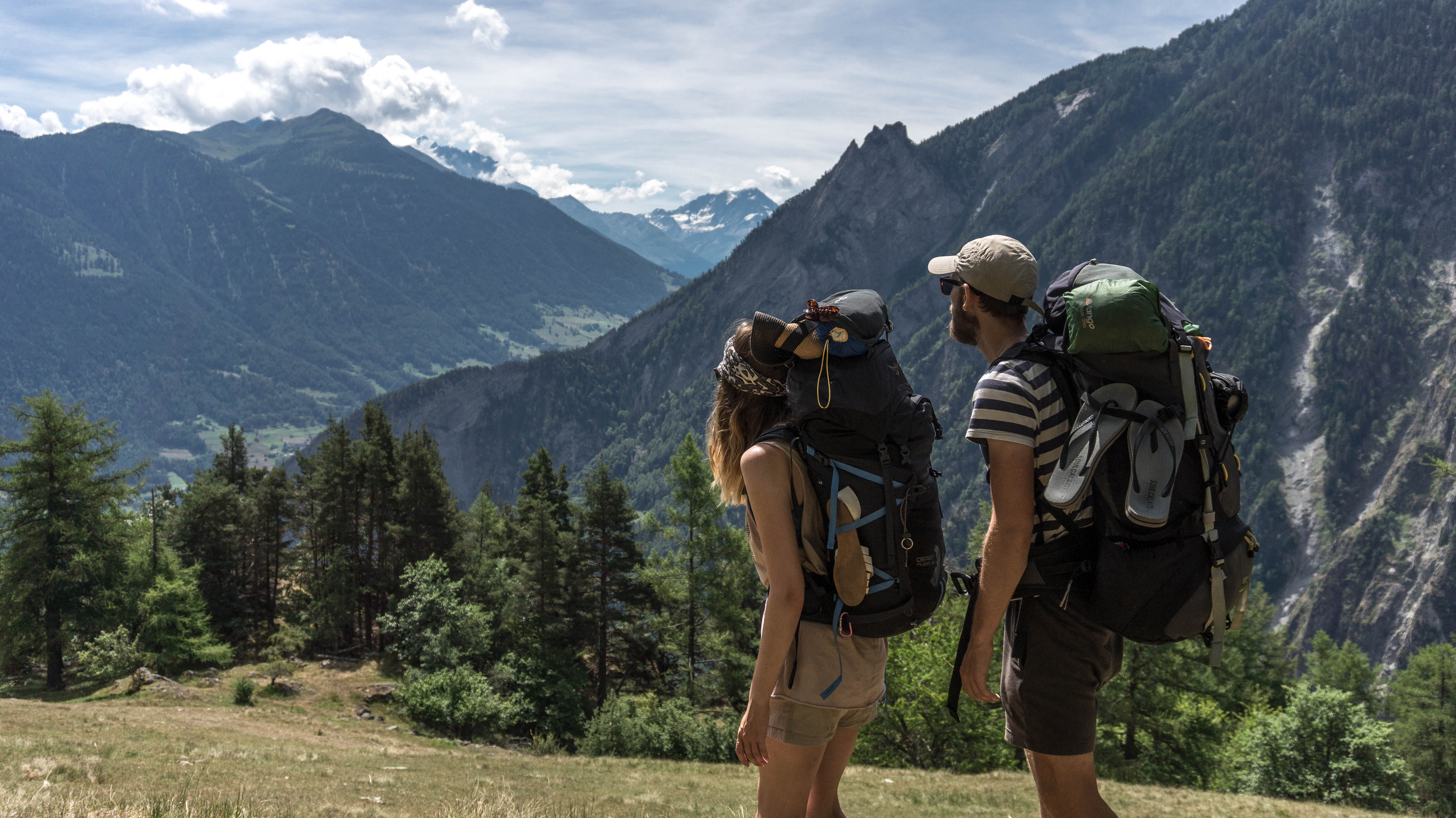
Switchbacking through steep streets we arrived into Sembrancher, little more than a roadside pit-stop. And soon we were switchbacking all over the place (this, if you don’t know, is when a path returns on itself sharply, getting you up hills easier). The paths though were terrifying: narrowness + steepness didn’t leave much room for error. We’ll admit it: on one occasion SOMEONE had a little cry, and we took the bags up one at a time. Another good decision though: it meant not toppling backwards into a river.
But the SIGHTS: green, hazy valleys with snowy-topped peaks on either side. It was like a fairytale, albeit hotter than you might imagine.
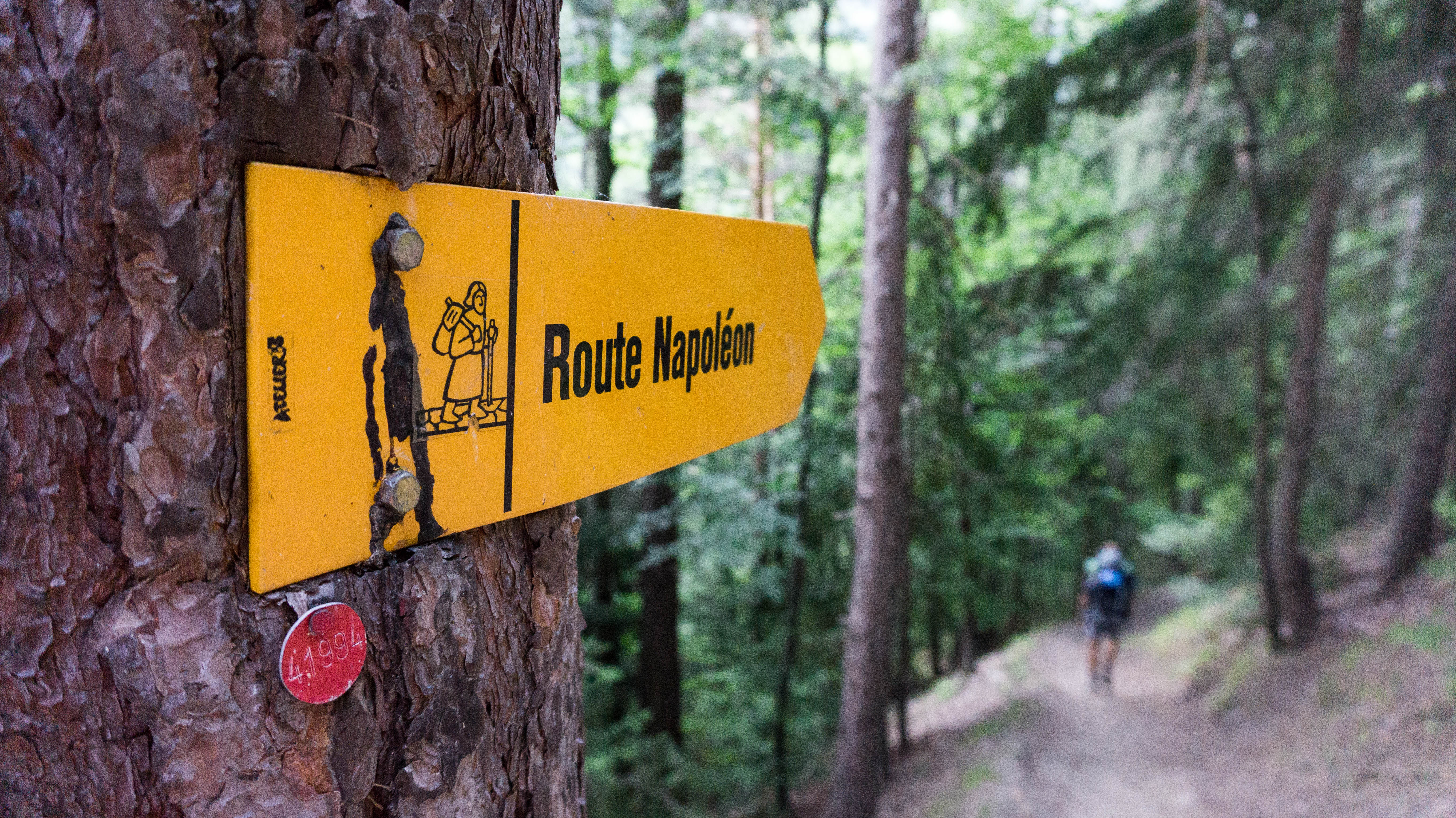
The paths were still near-deserted, just us and Napoleon on every signpost. We mostly had our pilgrim accommodation to ourselves, and they’d been quite awesome too: ‘ring this person to let you into this back room of the church’; ‘here’s the code to get up to the rafters of the city hall’; ‘oh yes, we’ve made up the bed in the empty presbytery for you’. It was exciting, and we again had this feeling of real, proper adventure.
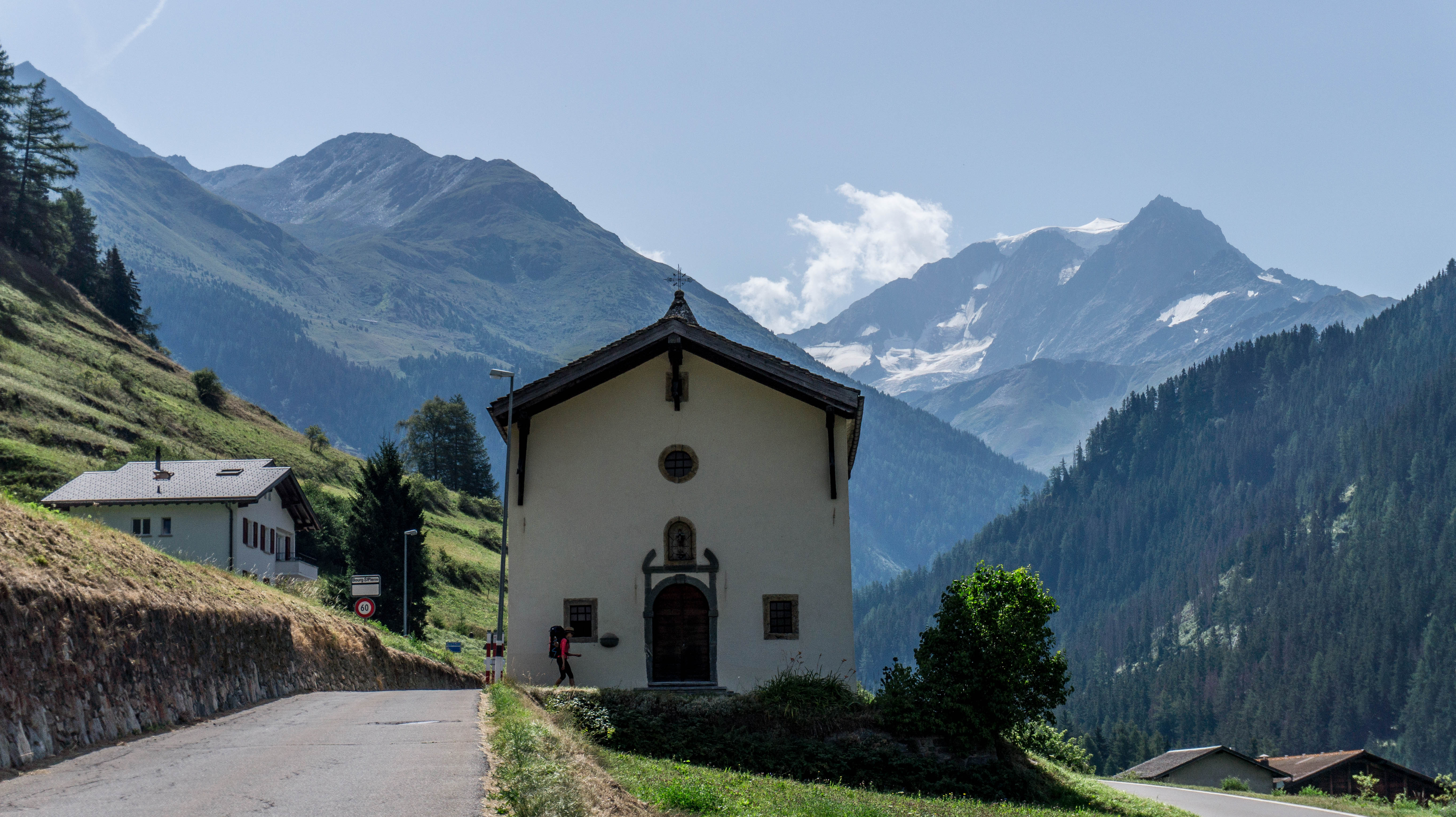
When we arrived in our final stop of Bourg-St-Pierre, the weather had closed in. It rained all night, hammering the poor tent. Next morning started in swirling cloud and fog. Also swirling around were those dire warnings you read about inclement mountain weather. But Luke confidently asserted we could see ‘at least 100 feet’ in front us so we set out anyway. We followed dank winding roads, diverting once because one had actually washed away in the winter.
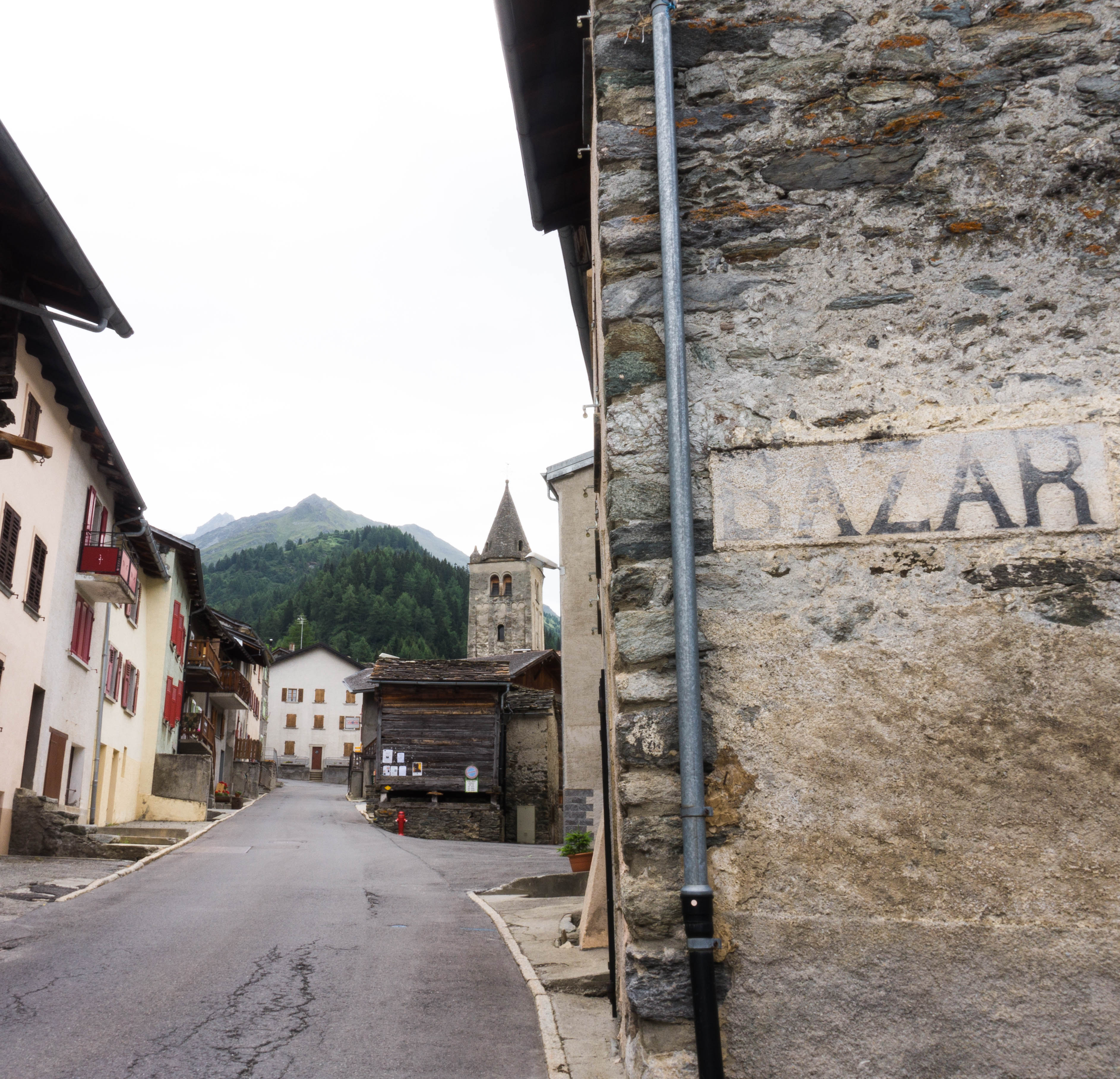
The weather worsened, and it began to rain. We continued up, past ponies and marmots entirely unconcerned by us or the storm. Out of nowhere we also passed two French Canadian pilgrims, sweating in the close damp weather. ‘I am dead!’ Puffed the guy, wiping his face.
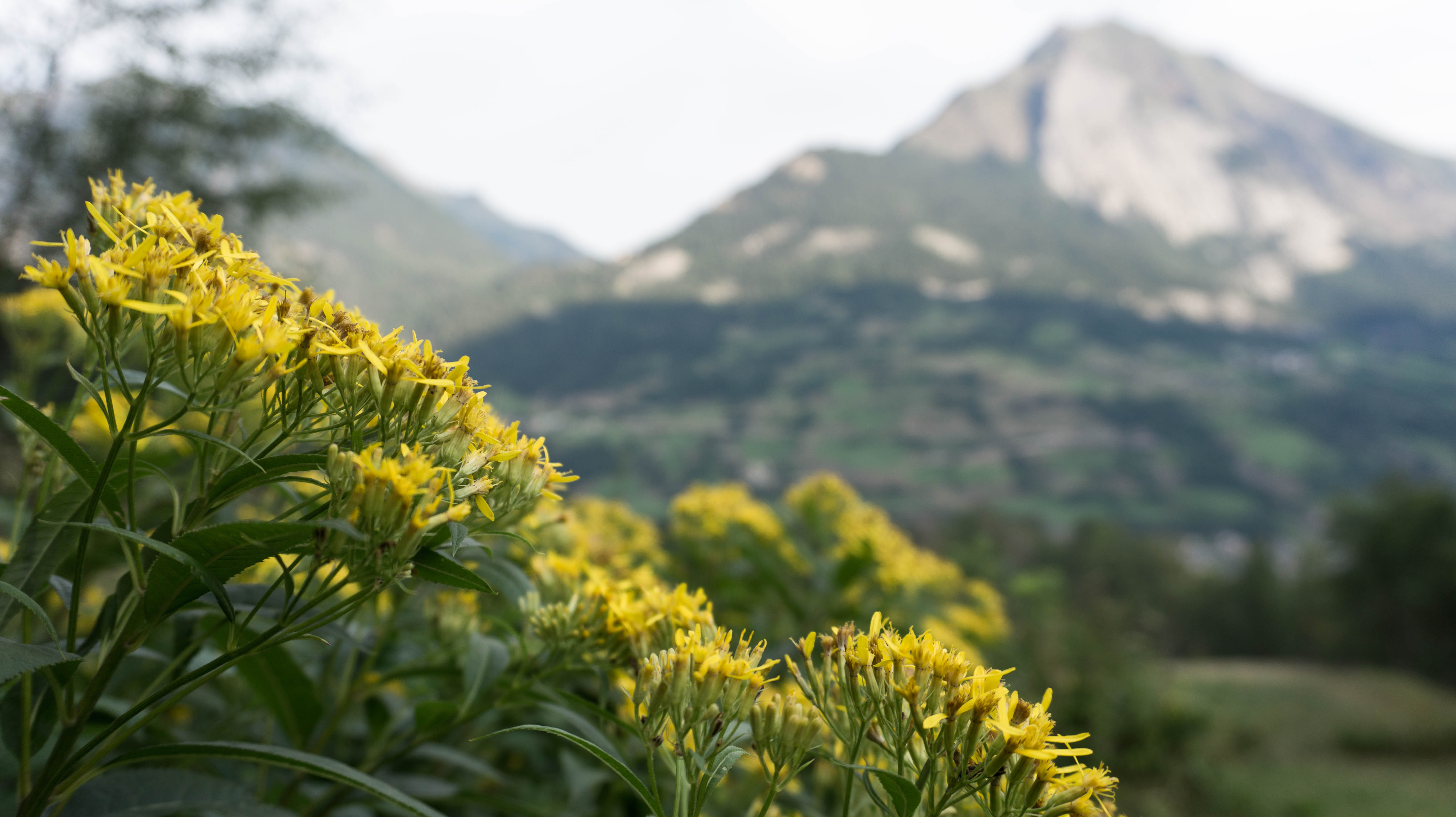
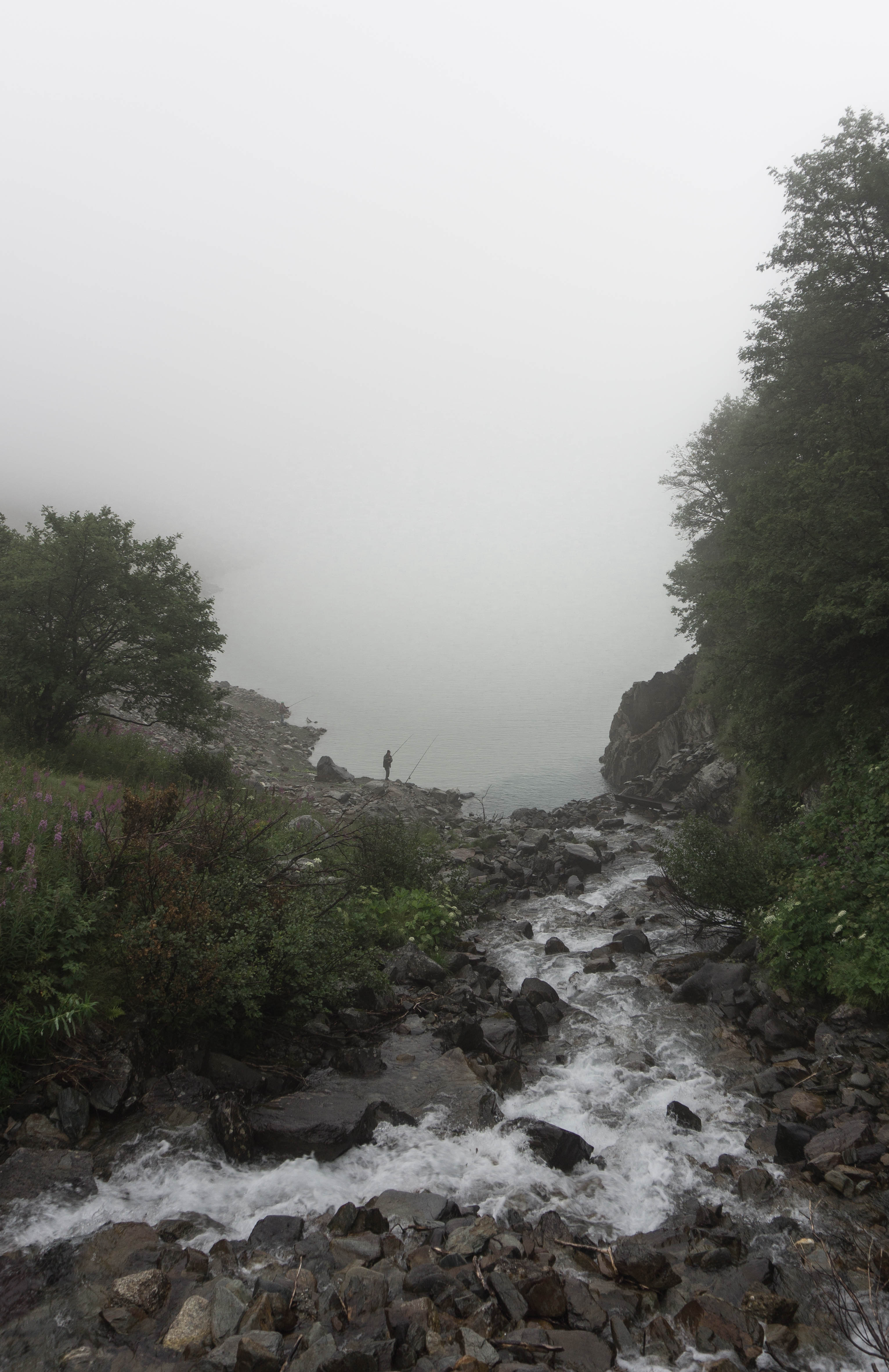
But you know mountain weather: the fog suddenly lifted, revealing previously unseen mountains and a giant iron-grey lake just to the left of us. We could see fishermen standing on the bank, hunched and still. Avalanche tunnels lined the base of the mountains and hardy alpine flowers appeared beside the path out of the gloom. It was a strange, other-worldly morning that will stick in our heads forever, the memory of slogging through, and finding our way, and it all looking so mystical.
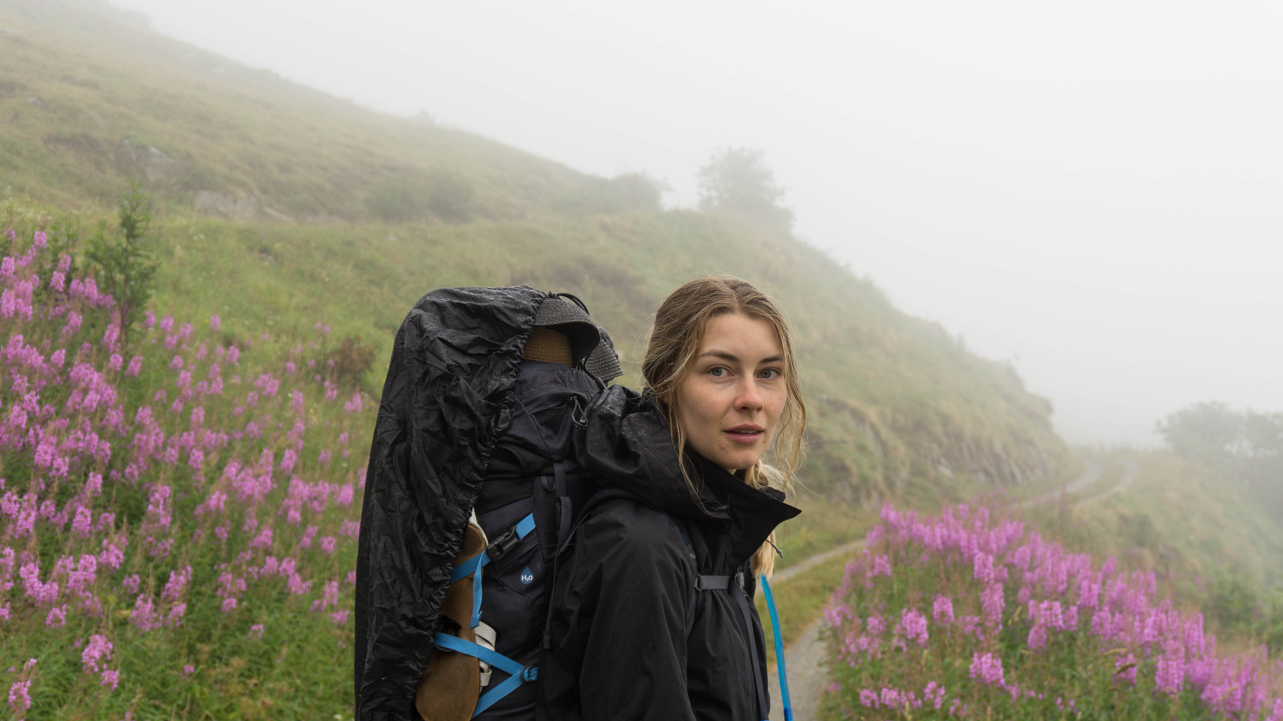
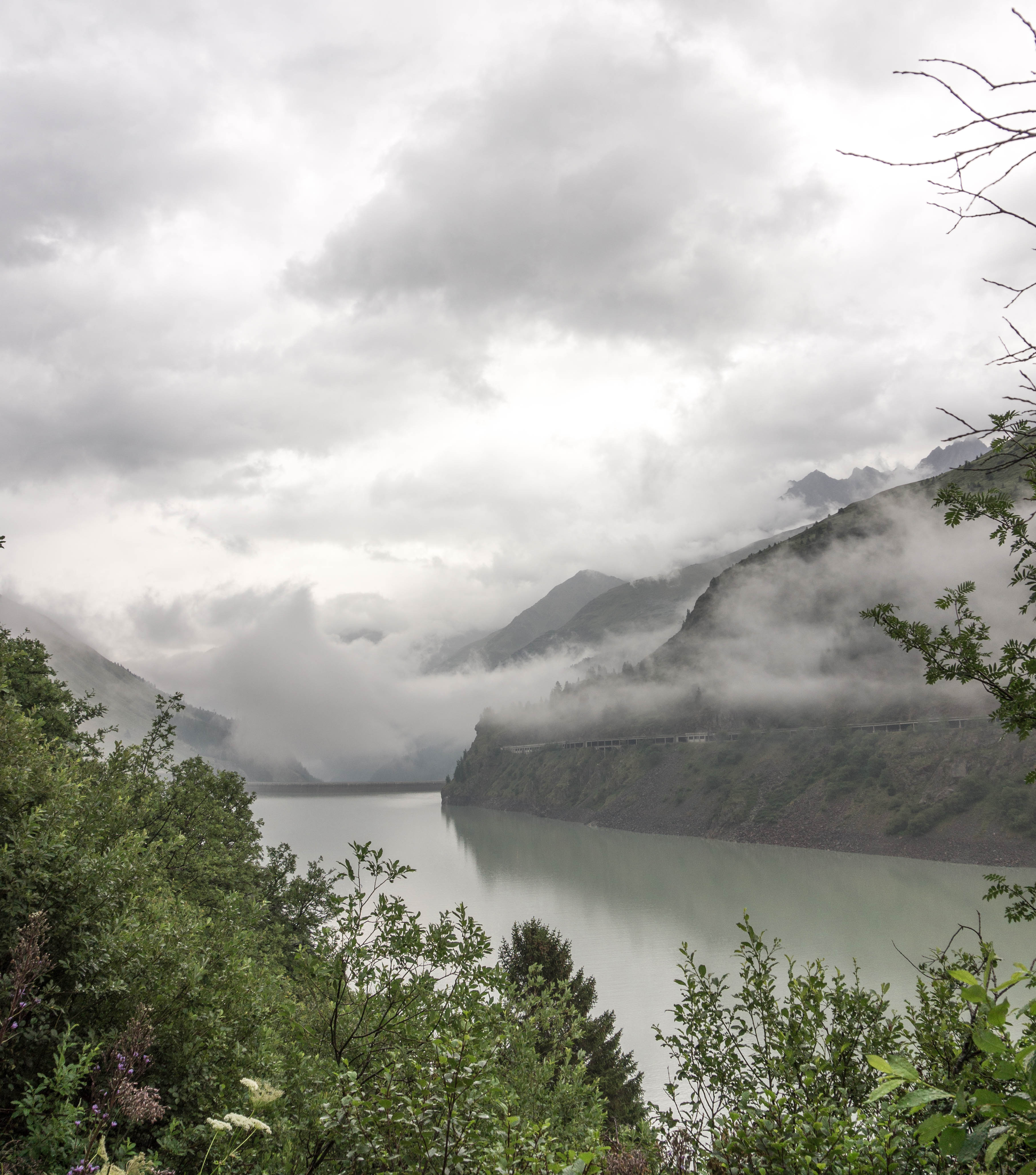
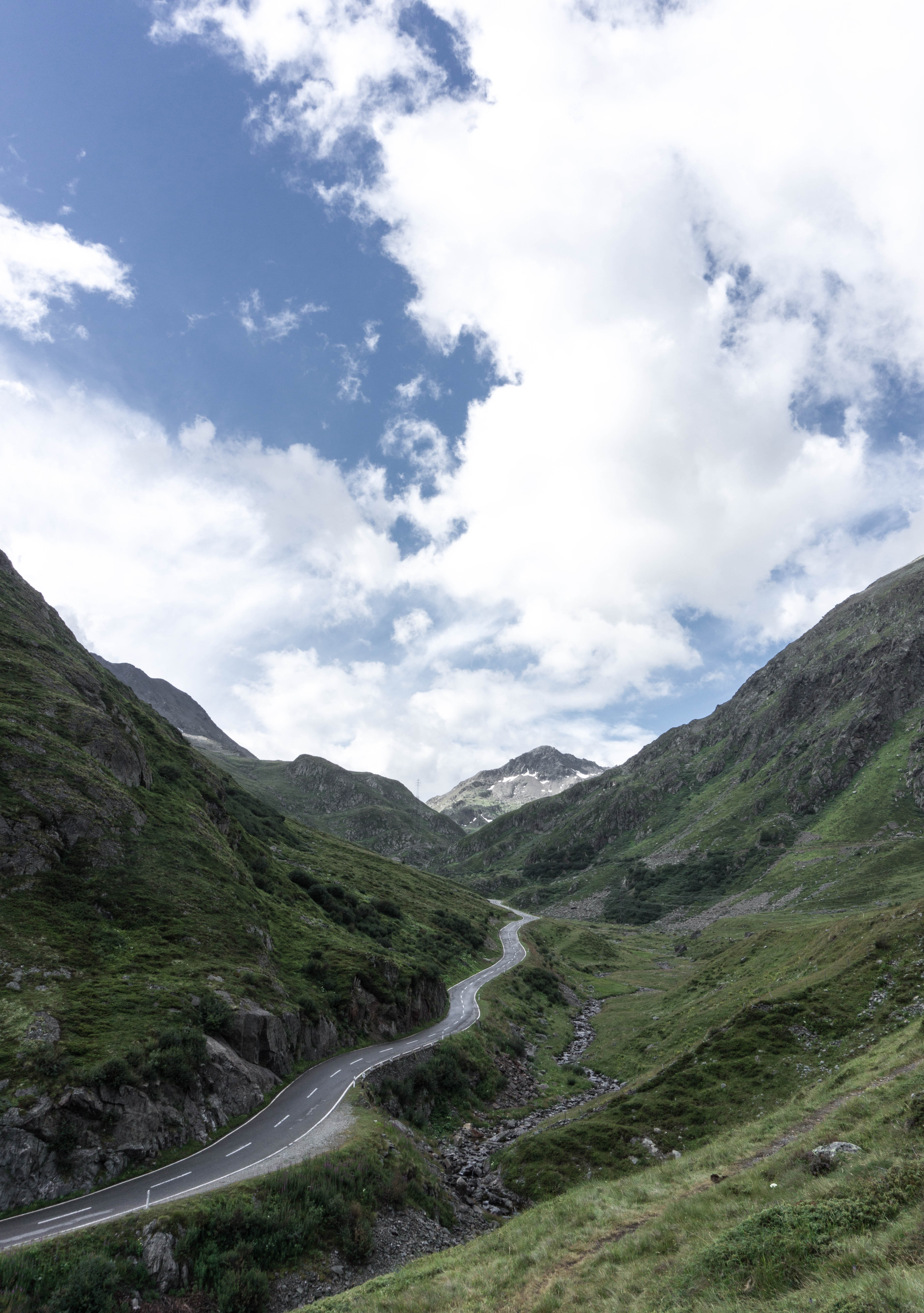
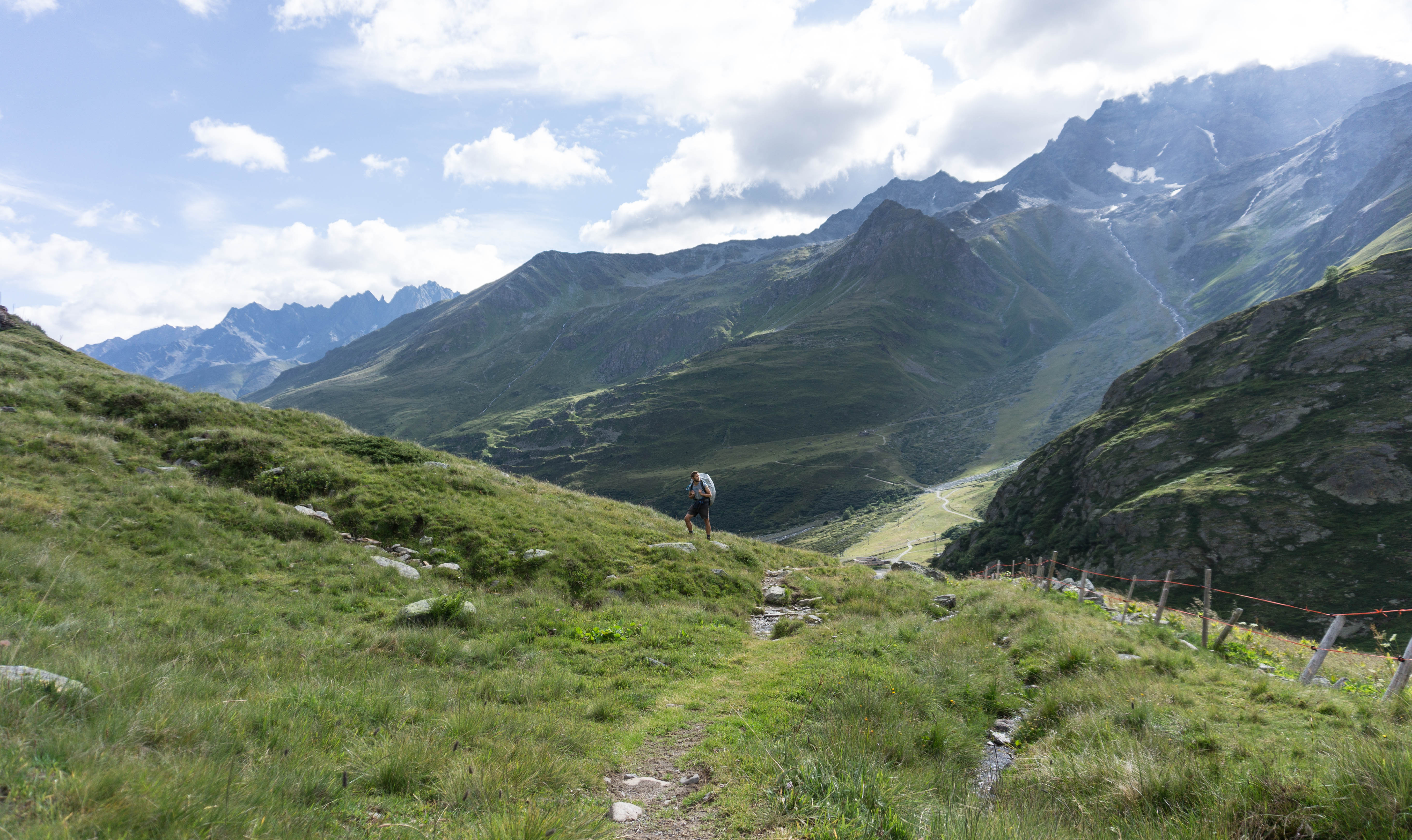
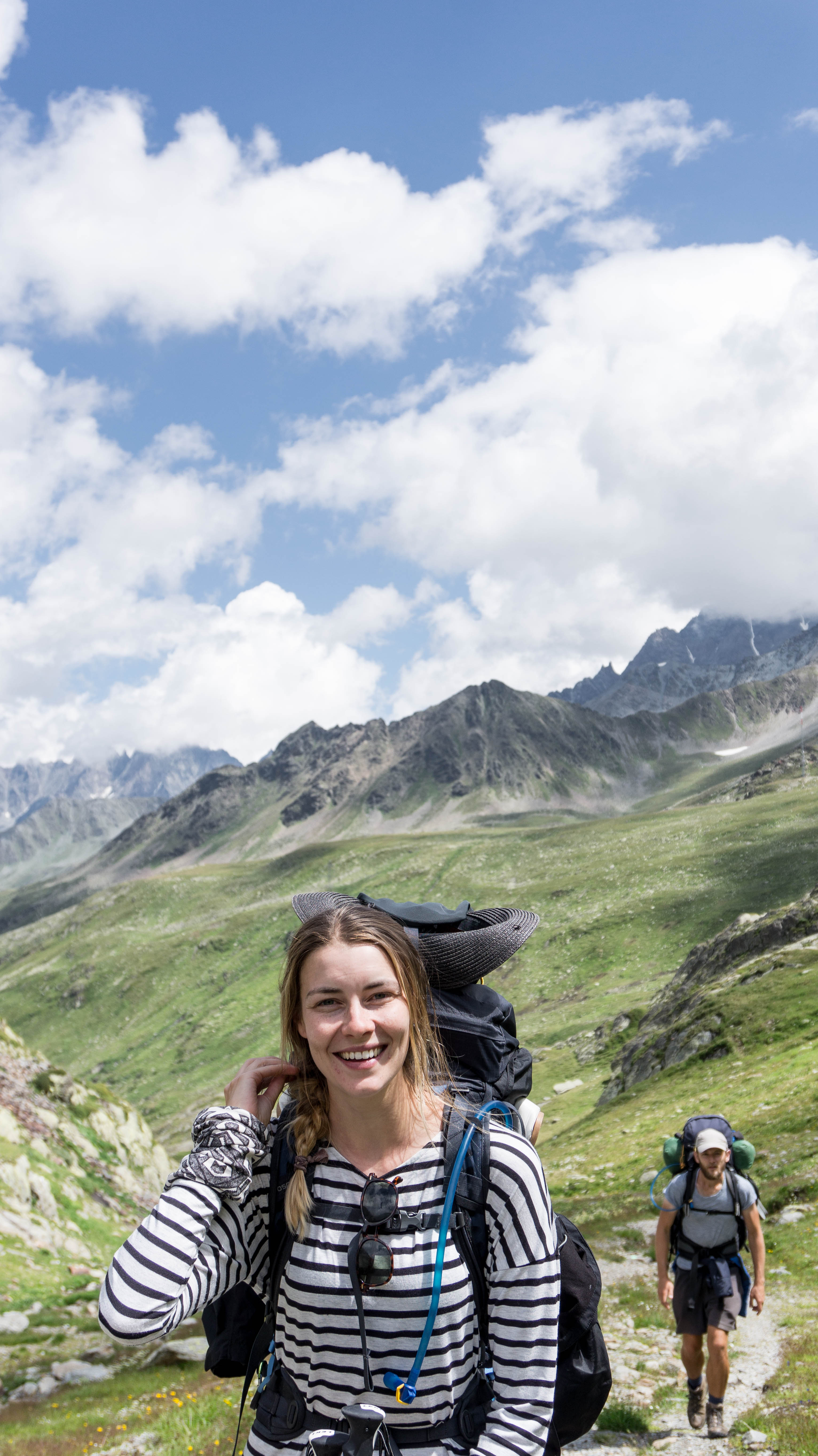
This whole last day’s ascent walking the Alps from Bourg-St-Pierre to the Pass was steady uphill but not really that steep, and the Pass road snaked just below. The trees were replaced by sparkling mineral rock and stubby grasses. The clouds skidded quickly above us, sunny, windy, cool, catching on the breathtaking mountains around us. It could’ve been the Dales or the Highlands, but for a weird feeling of thin highness. And we were really getting there, really doing it.
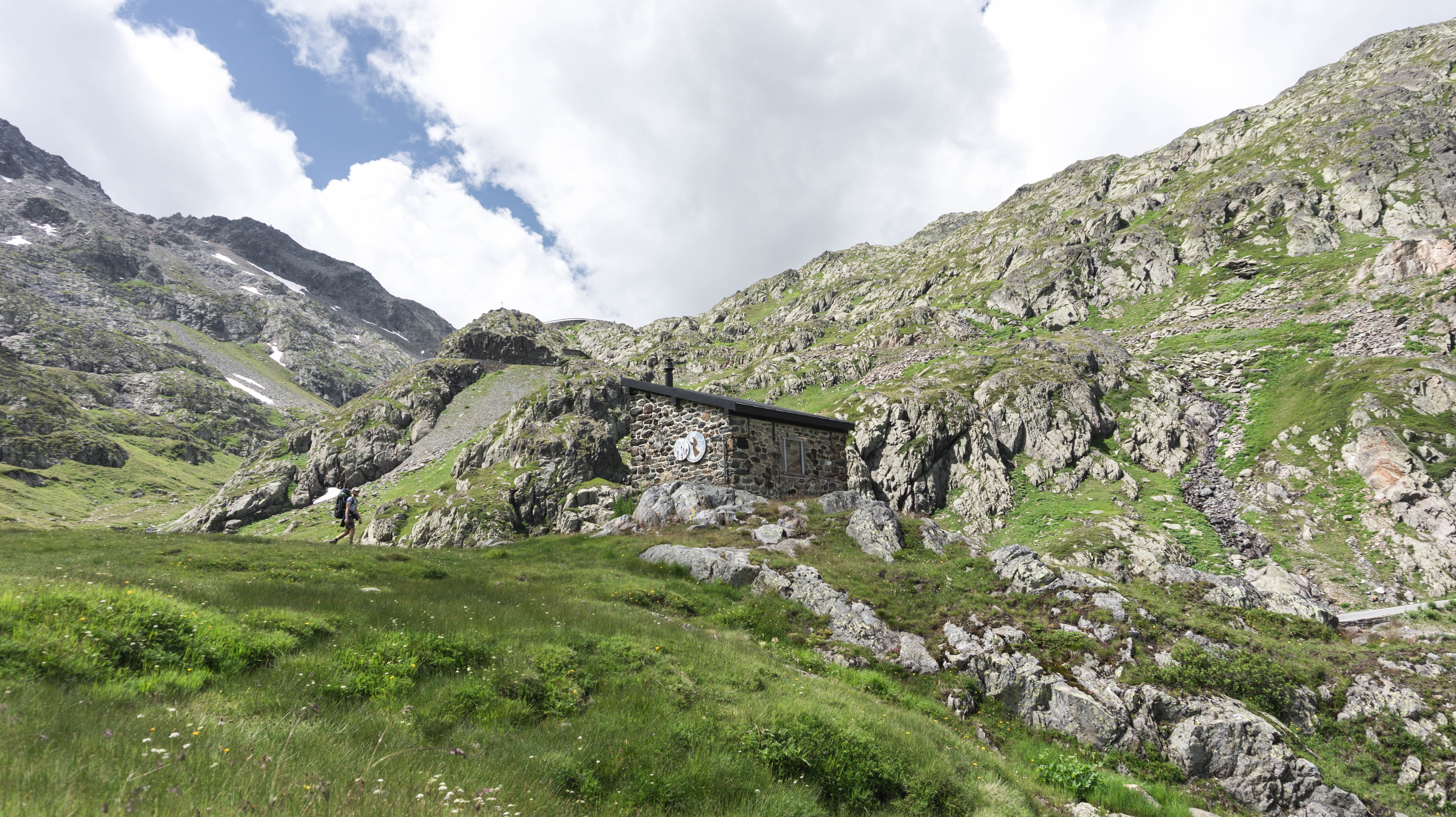
Not so far from the top, we found a storm hut. We barged the door a little and found a table with a stove, pans, blankets and a funny little intercom. The window was foggy and other walkers had graffitied the walls. It smelt a bit stale, but we sat down anyway – chairs are hard to come by 2,300m up.
And from the hut we struggled up the last slippy bits of shale, finally –finally- to the top.
The top!
The top?
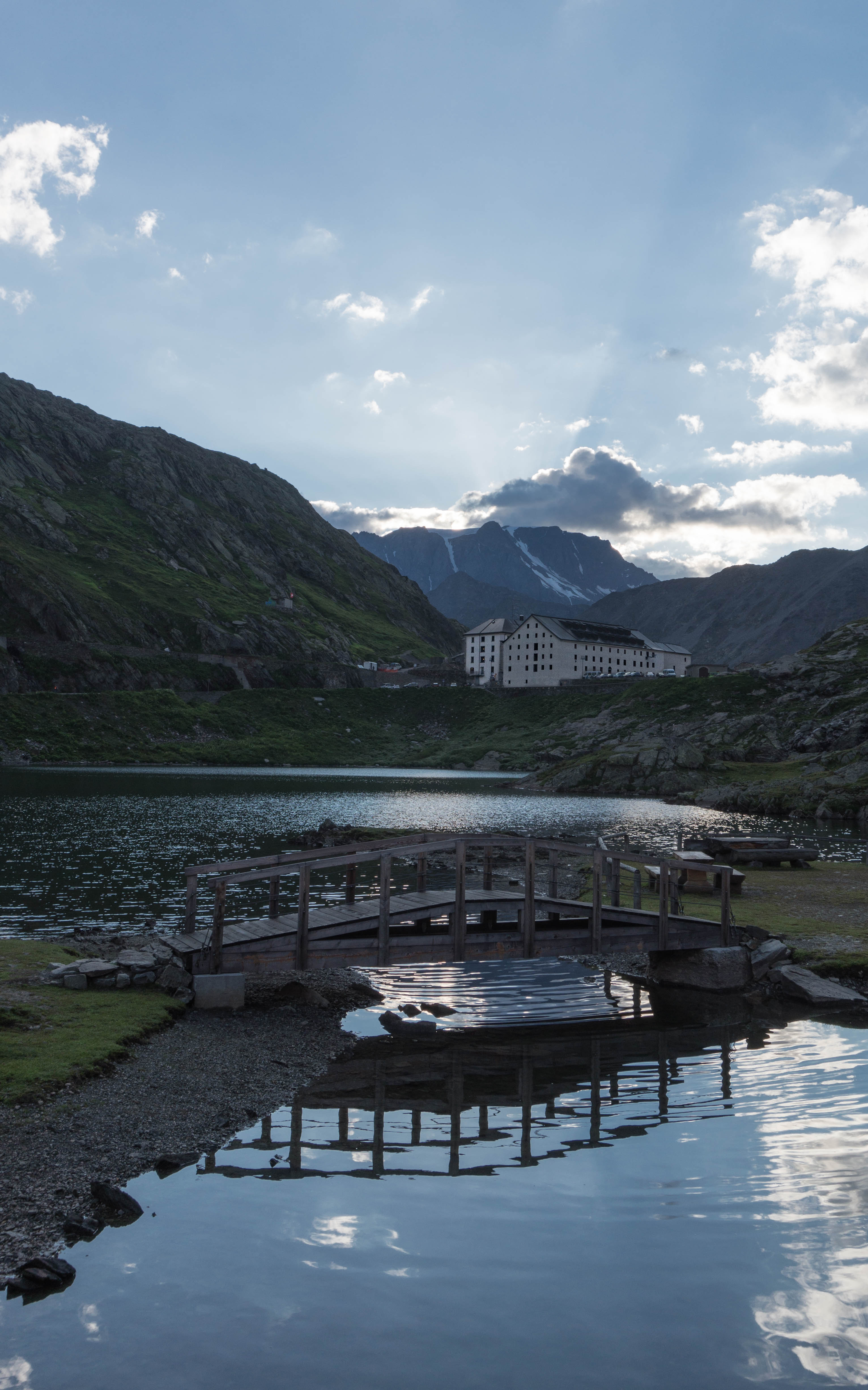
Guys, not gonna lie: it’s a car park. Full of cars, people, buildings, a lake. A bit surprising to suddenly run into the queue of people waiting to buy cuddly dog toys of Great St Bernards. But at the centre of it all stood the impressive 12thc hospice, built to house, feed, sleep travellers and pilgrims.
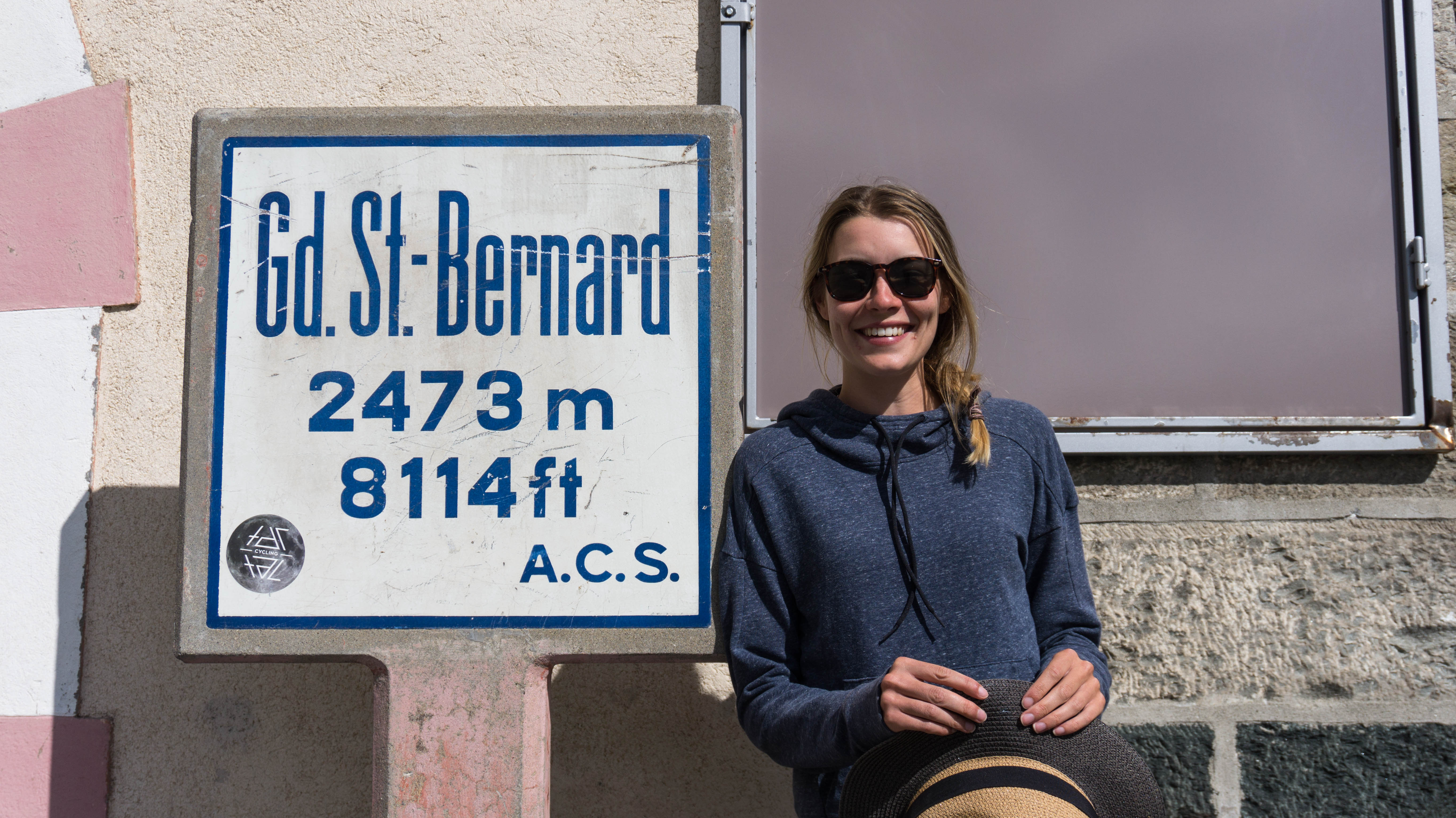
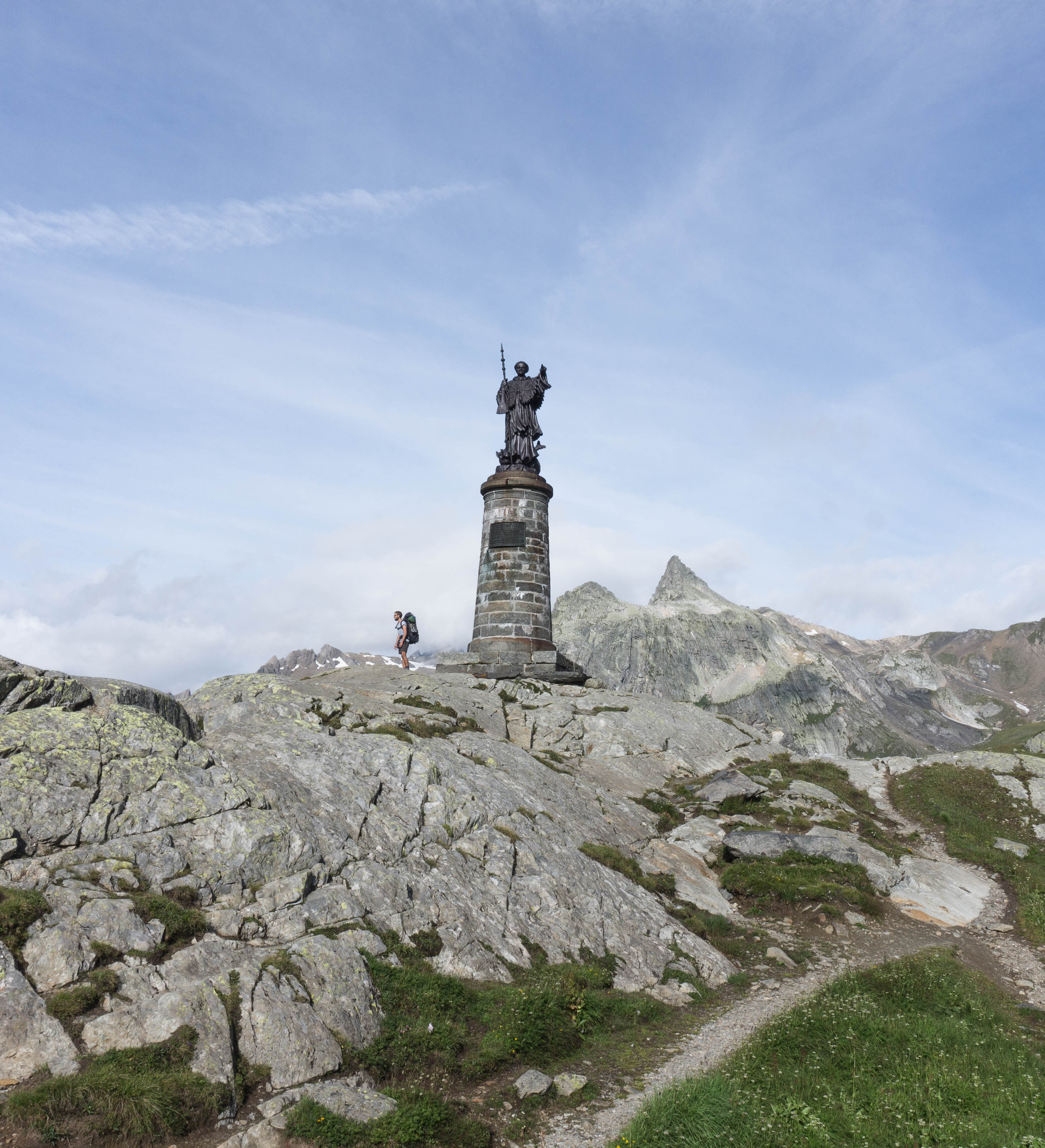
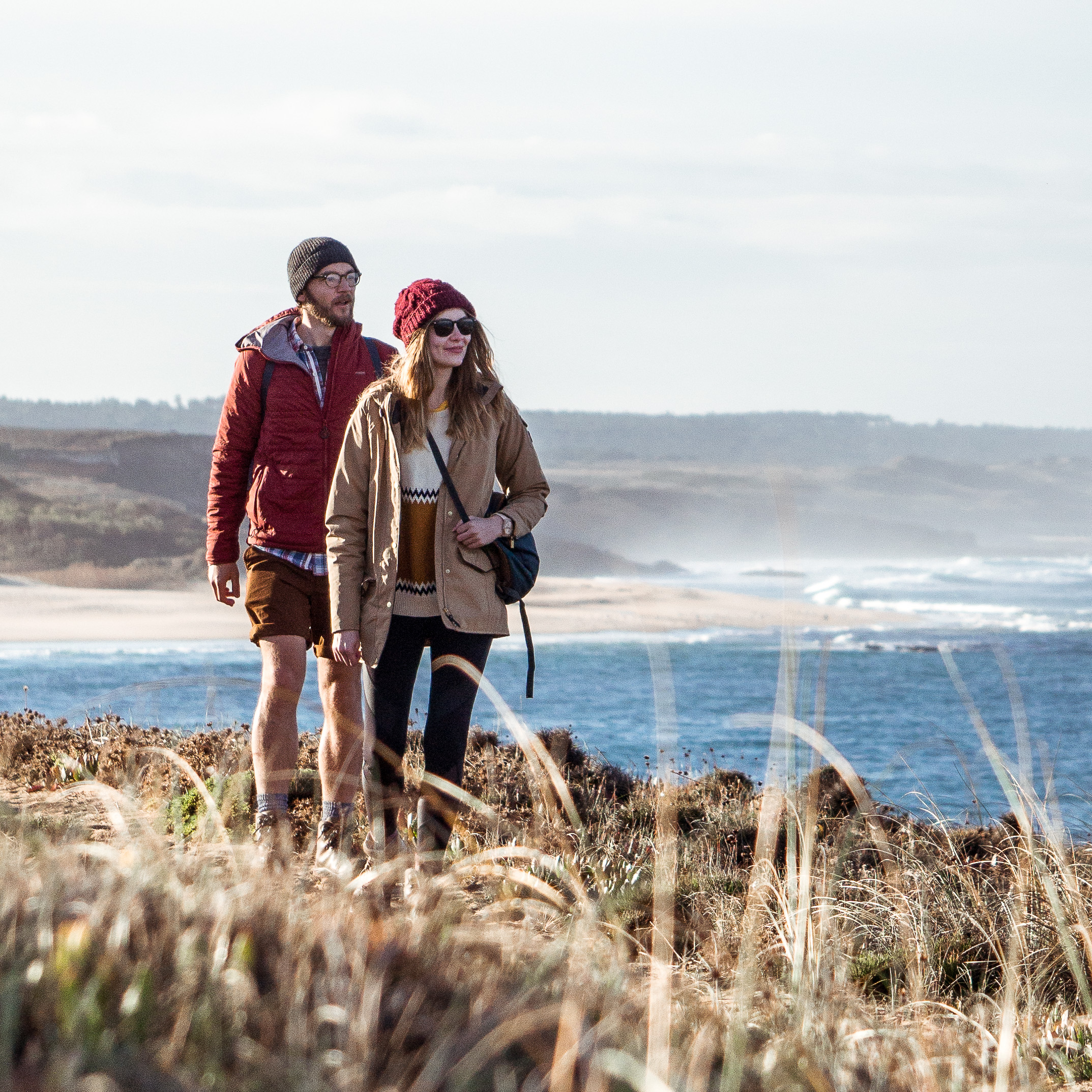
We walked around the top in a daze feeling tired, elated, and a bit overwhelmed by crowds. But we had walked the Alps! It had been sweaty, and certainly uphill – but you know, really quite fun.
And it felt utterly amazing to compare this with setting out from the Christ Church Gate in Canterbury, or arriving into Arras, or crossing the border into Switzerland.
Funny too, to compare ourselves at each of those stages; but it really has been all one journey, all done by us entirely on foot. Us, just two normal people! It seemed to confirm something about having goals and dreams, about self-belief, about hard work paying off. You know, all those vague self-congratulatory things that seem indulgent but are probably quite important.
Crazy cool.
Maybe there’s something about being up there: so cool, so beautiful, so crystal clear, that makes you want to go back and breathe it every day. We think we might, after all, be mountain people.

My favourite bit to read about so far, looks extremely beautiful! Can I ask what you guys are using to take your beautiful pictures?
Hi Leanne, thank you very much! We have a Sony a5000 with the standard kit lens (16-50mm). We’re happy with it and would recommend as a travel/long distance walk camera because it’s really light.
It was a fantastic section of the walk. We miss it whilst we walk these flat rice fields south of Pavia! Does it whet your appetite to walk the Via Francigena?
It sounds really dramatic and we get the sense of wonder, excitement and not a little danger from this splendid entry on the blog. A great advert for the Swiss Alps and the challenges of negotiating them! Unforgettable experience which perhaps will inspire others to follow…..
It’s inspired us to get into the mountains more often! We want to think of ourselves as mountain people, John! Thank you for the comment
WELCOME TO ITALY! MAMMA MIA! YOU ARE ALREADY HALF WAY! CONGRATULATIONS!
It never ceases to surprise me when the younger generation, notoriously prone to Narcissism, suddenly steps out of the circle and chooses to face life head on. No doubt others have tackled the near 1300 mile journey of the Via Francigena, but one gets the impression on reading their Blog that Luke and Eleanor are treading this path not only to find themselves, and the limits of their endurance, but also their place in the world. One cannot see it from within, where you are merely looking in a mirror at someone you know, but from the outside, at the stranger that is yourself. God bless them on their journey. We look forward to reading the full journal of their ‘feat’.
Thank you Christopher and Patricia for your kinds words. The search for our place continues…
See you in a few weeks!
What an amazing part of your journey this has been for you both. Your in depth sight and description of the Alps that not many are aware of has now been told. Will it inspire further travellers….. it surely must after reading this blog. Happy onward travels to you both and enjoy the long awaited entry into Italy.
Thank you very much – let’s hope people can find the blog on the vast internet! Check out the latest blog about our walk through the Aosta Valley.
What an inspiring post – thank you so much for sharing. I did tons of research on medieval travel – pilgrimage and diplomatic missions – for my History PhD all these years ago. I first came across the Via Francigena when I wrote a paper back in 2006, and now my wife Zoë and I live in Ollon, between Lake Geneva and Saint Maurice – go figure! Looks like you passed by our little village when you took the path along the banks of the Rhone – that’s my favourite running and cycling route. Best of luck with all your future adventures!
You live in a wonderful part of the world! We loved walking through Switzerland. Thanks very much for your message, Karsten!
Luke
HI. i KNOW ITS A WHILE SINCE YOU YOUNG FOLKS DID THIS WALK.
ERIOUSLY HOW DO YOU THINK AN 80 YEAR OLD MALE WOULD MANGAE THIS WALK.
WALKING SENSIBLY OF COURSE, NOT RUSHING, TAKING LONGER THAN REQUIRED STOPS AND IF PUSH COMES TO SHOVE EVEN ATKING PUBLIC TRANSPORT TO KEEP UP WITH THE JOURNEY. PLANNING FOR A 100 DAYS TO COMPLETE THE DISTANCE OF 2000+ KLMS.
HAVE DONE PART OF THE CAMINO FROM BURGOS TO CAMPOSTELLA. HAVE ALSO SCRAMBLED UP TREK FROM PARO TO THIMPU IN BHUTAN.. PLEASE ADVISE. MUCH APPRECIATED. PB.
Patrick, lovely to hear from you. Sorry for our ridiculously delayed reply. We’ve been offline – life has got in the way (all good though!). Have you done the walk since your message? If you’re still thinking about it, and feeling up to it, get out there and stroll on. There’s decent public transport links along the route, as it stays near conurbations almost the entire time. Any questions, let me know.
Luke
Hi both, I’m planning on doing this trip myself, and have loads of questions. Such as did you do a lot of camping on this trip rather than staying in places, and when you did did you have the opportunity to stay at campsites or did you sleep wild mostly. Also in terms of sleeping comfortably did you take any sort of bed with you, as obviously its best to travel lightweight.
At the St Bernards pass, did you have snow or any problems safety wise and its great you have added the alternative route, which I will follow.
Sorry one more, food and drink wise, was there plenty of opportunities to eat and stock up all the way.
Well done though, love the blog and thanks for all the info.
Hi Lee, sorry for the delay, we’ve been offline! Have you managed to get on the VF and complete your walk? If you’re still planning, here are some answers: we camped for 70% of the 8 weeks in England and France, the remaining 30% were mainly pilgrim stays with the odd Airbnb in a big city. Switzerland we camped 80% of the time, rest cheapest, but still expensive B&B/Hotels. In Italy there were ostelli (pilgrim hostels) dotted along the route and camping was more difficult (not many campsites). So to answer your campsite vs wild camping question: we used mainly campsites because we wanted to shower, charge electronics. We did the odd wild camp when we wanted to, but you don’t need to.
We were lucky with snow – there wasn’t any mid-July when we were there. It was an exceptional day to cross over from Switzerland to Italy. May and June can be risky for snow though.
And food and drink – so many options along the way, you’ll be fine and won’t need to carry much!
Best wishes,
Luke
Dear Luke and Nell,
I’m hoping to complete the route in April, and I can’t tell you enough how informative and reassuring your blog has been — maybe I, as a pretty normal person, can handle it too! I love your notes about the charming pilgrim stays: “ring this person to let you into this back room of the church’; ‘here’s the code to get up to the rafters of the city hall,” etc. I know you completed the walk awhile ago, and I certainly don’t want you to feel obligated to spoon-feed us on how to do the walk, but I was wondering how you went about finding your pilgrim accommodations? I’ve used pilgrims-to-rome.com, and Gronze, but was wondering if there are any other sources I should know about.
Thank you so much,
Susan
Susan, so sorry this message is late. You walked in April, so you should’ve had the most amazing time by now? We used the guidebooks (Cicerone, Lightfoot, and the Terre di Mezzo guide for Italy). They all had suggested places. Plus, facebook was useful and of course Google! Hope it went well.