From: Santiago do Cacém, Alentejo ~ Cabo de Sao Vicente, Algarve, Portugal |
Time: 10 days |
Distance: 250km (here’s our route in maps 1, 2 & 3)
The Rota Vicentina will forever have a place in our hearts. We had been looking for what seemed like forever for an adventure that was:
• long-but-not-too-long
• in Europe
• to do in February
• preferably on the coast (we missed the sea).
So, easy then. It really wasn’t, until the Rota Vicentina popped up, answering our prayers.
It was the first long(ish) walk we did since completing the Via Francigena and confirmed to us that we loved walking just to travel.
Like us most people don’t seem to know about this walk, so here’s our complete Rota Vicentina guide!
The Rota Vicentina: an introduction
The Rota Vicentina is a network of 450km of paths running down the whole coastline of the South West of Portugal, through both Alentejo and the Algarve. It’s divided into two trails: the Historical Way (inland) and the Fishermen’s Way (coastal). We liked these details: they conjured up different things, ancient ruins and sandy paths.
The Alentejo region was actually chosen by Lonely Planet as one of its must-visit destinations in 2017. And we can so see why.
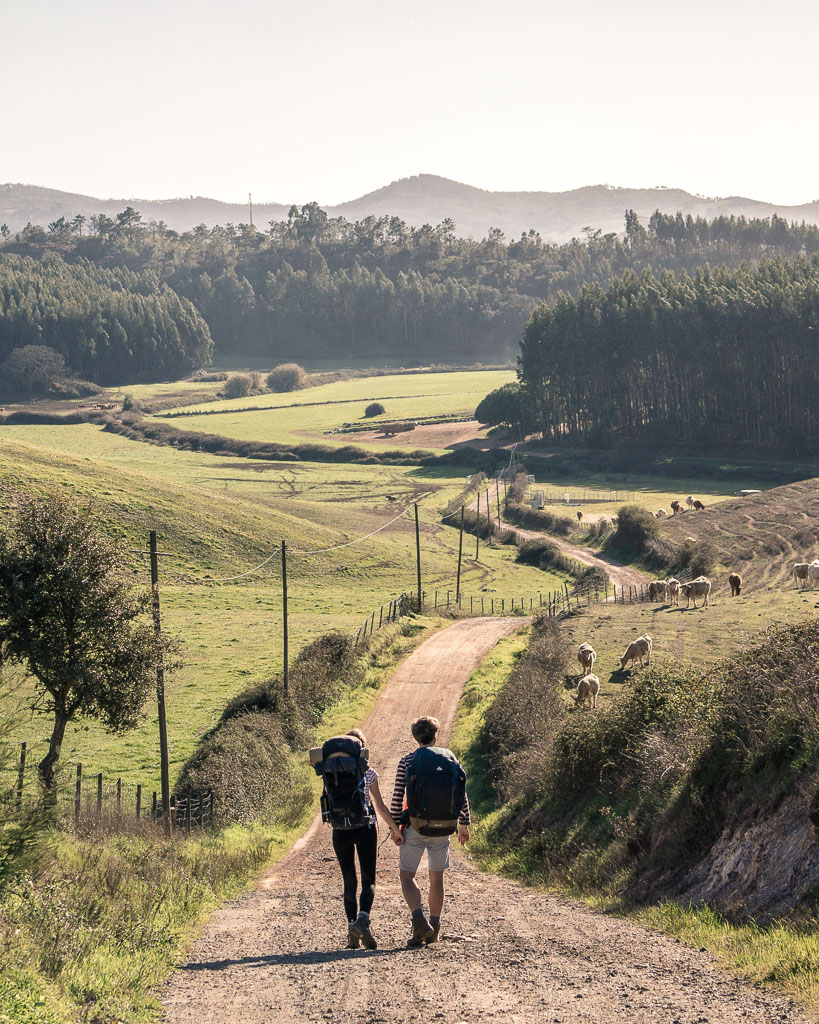
The route as a whole is fairly new but brings together a whole bunch of ancient trails used as pilgrimages and traditional working fisherman’s routes. Its aim is to promote but also protect this huge coastal wilderness which -take it from us- really doesn’t have anybody on it.
The full 450km loops around all over the place, including several circular walks for day-trippers. Our route (and so we suppose this Rota Vicentina Guide too) covered 250km, taking in both trails, to get down to the Cape St Vincent – the most south westerly point of mainland Europe.
Or if you want to be romantic: the end of the world.
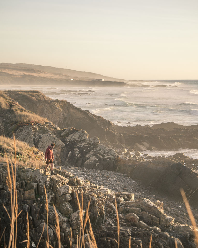
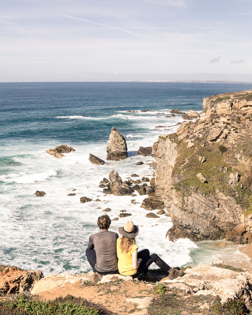
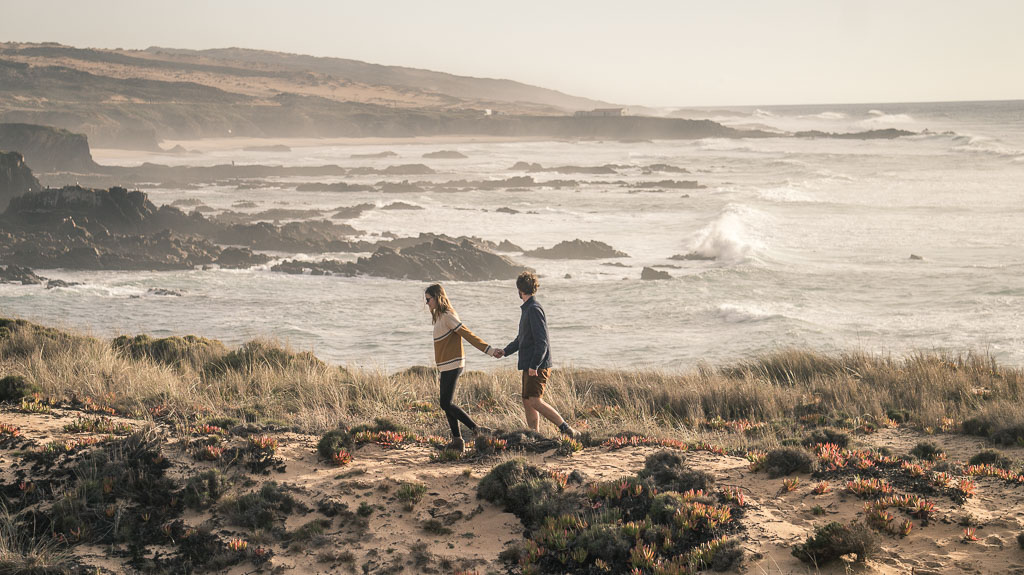
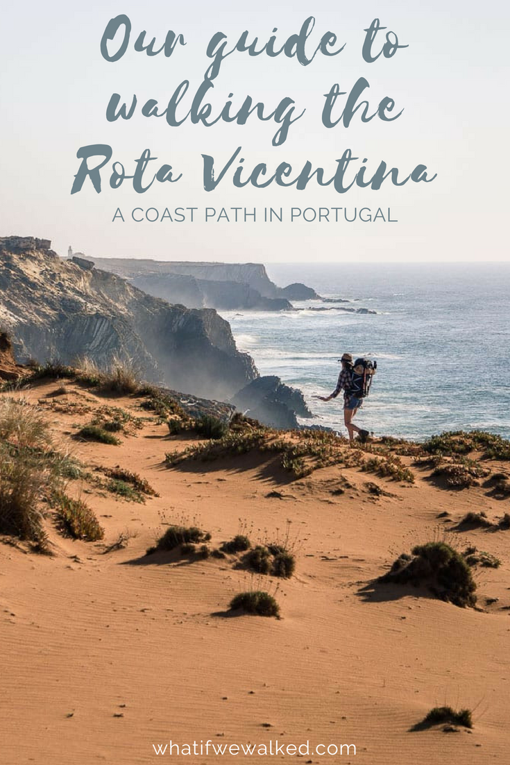
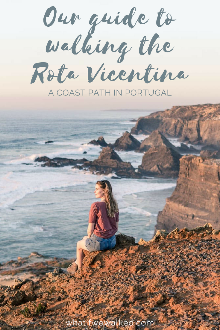
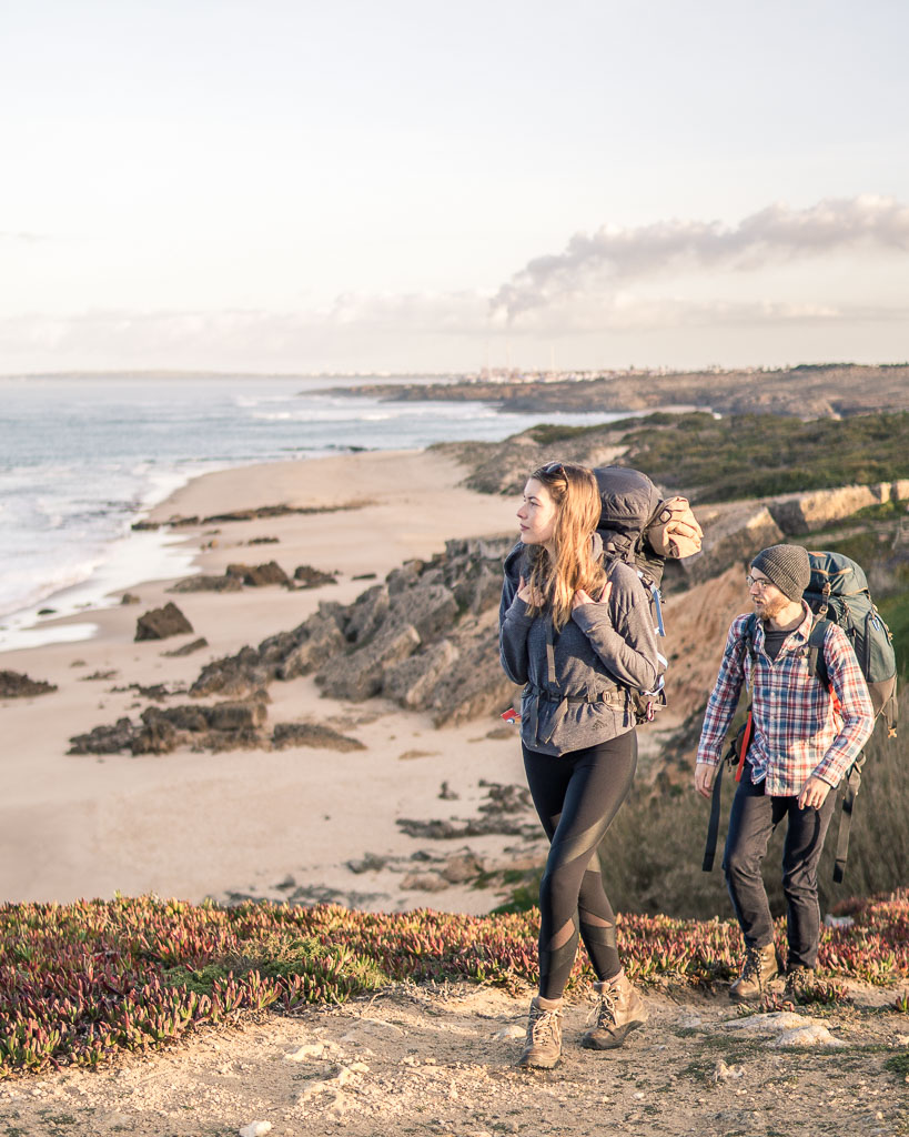
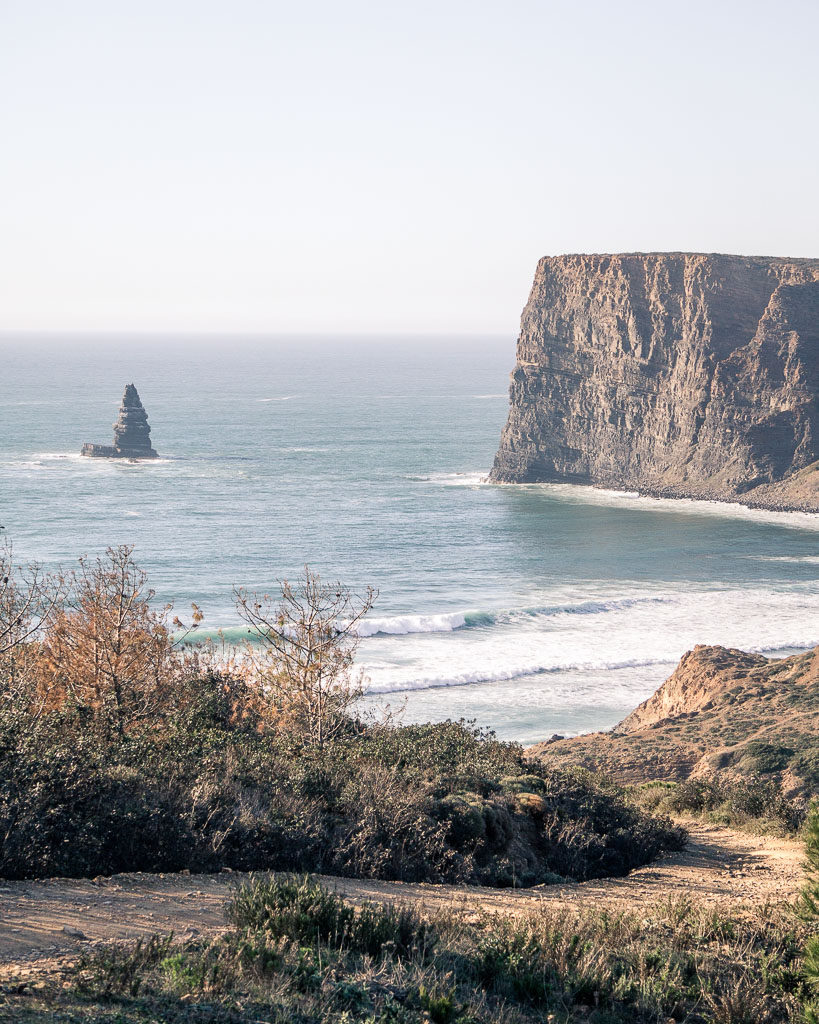
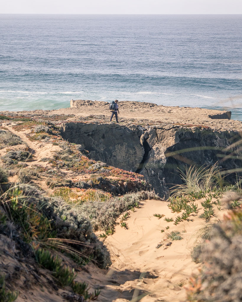
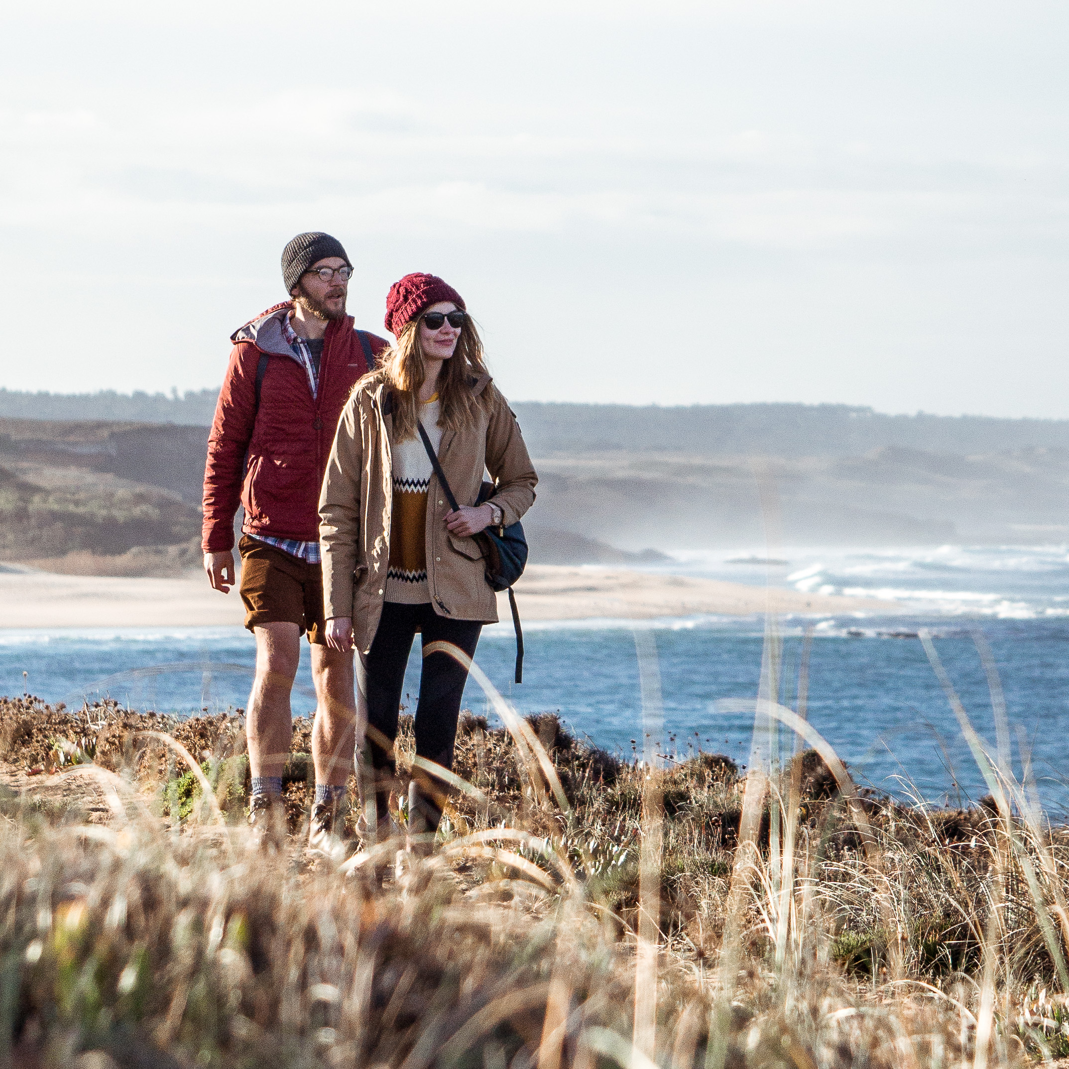
The rugged little path twisted through inland forests to some of the most beautiful coastline we’ve ever seen. It’s perfect sandy beaches turning into the craggiest of rocks. White waves crashing around far below your feet, with seabirds nesting in the rocks. Stopping at tiny blue-and-white Portuguese fishing villages that are friendly and picture-perfect.
If you’re interested, read on about all the nitty-gritty details of how to walk the Rota Vicentina:
Rota Vicentina Guide: What to know
Terrain
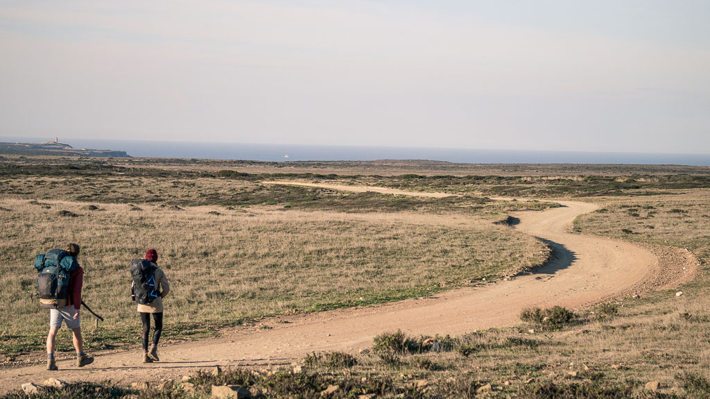
Anything and everything. It starts on stony ground, turns to springy pine forest floor, before sifting away to deepish sand (we found this hard work, see below for more on that). Then it becomes rocky again and earthy – dry when we did it, possibly muddy in rain.
There’s also a fair bit of up and down. Hey, a lot of it is coast so expect a bit of dipping and diving. Most of this is on sandy tracks – we actually really dislike walking on loose, slippery ground, and found it absolutely fine 95% of the time. And that other 5%, welllll, just go a bit slower!
Level of difficulty
It really isn’t that difficult. We know it sounds like it might be, but there is absolutely no scrambling or scaling of cliff face we can assure you. It’s mostly just winding around, with a few steep bits we heaved ourselves up.
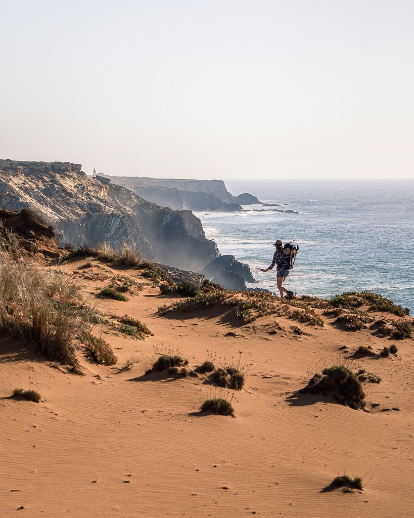
The trickiest part we found was walking on dunes. They’re mostly from Porto Covo to Odeceixe, which lasts a few days but it’s tiring and so s l o w. Like really: one day it took us three hours to walk 5.5km! Puts a whole new spin on slow travel, we know. But don’t skip it: this was some of the wildest and most beautiful part of the whole trail.
Oh also: it’s quite exposed, especially up on the cliffs. Sun cream up and it is possible to avoid the midday if you don’t walk too far.
Time of year
We walked in February and it was quiet, very cheap and we had stunning weather pretty much the whole time. We wrote a post about our experiences of Portugal in February if you want to know more.
The trail was very quiet, and though we guess that might change a bit in the summer months, it seems like a very secluded stretch.
Signposting
Newly done when we walked in 2018, balises for the Rota Vicentina were everywhere. In every town there’s a map showing you your progress. At every junction were waymarkers with the trail colours – plus crosses emphasising the way you shouldn’t go. Every now and again there are signposts telling you how far the next town is too, which is super helpful.
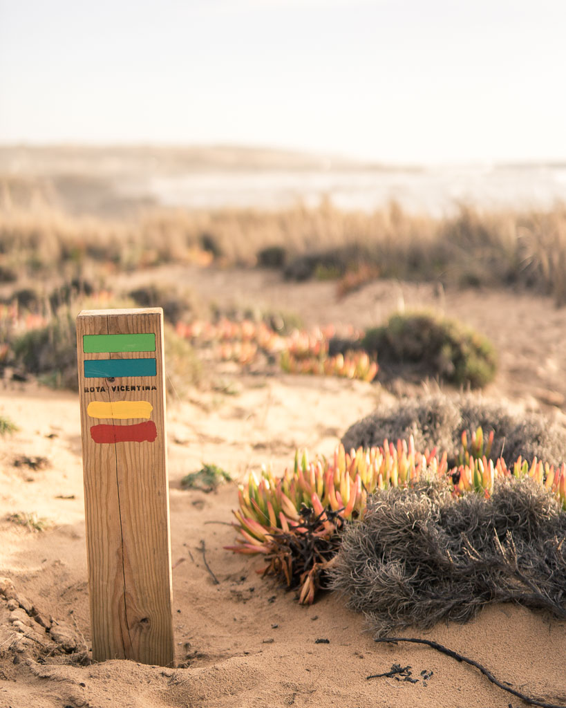
The Rota Vicentina company have produced a map and guidebook. We used just the map and it was great. Waterpooof(ish) too.
Supplies
There are stretches with literally n o t h i n g on it, just the trail. No shade, food or drink, or toilets. Now they don’t last forever (you could go about 15km without anything we’d say) but that’s a long time if you’ve got nothing with you.
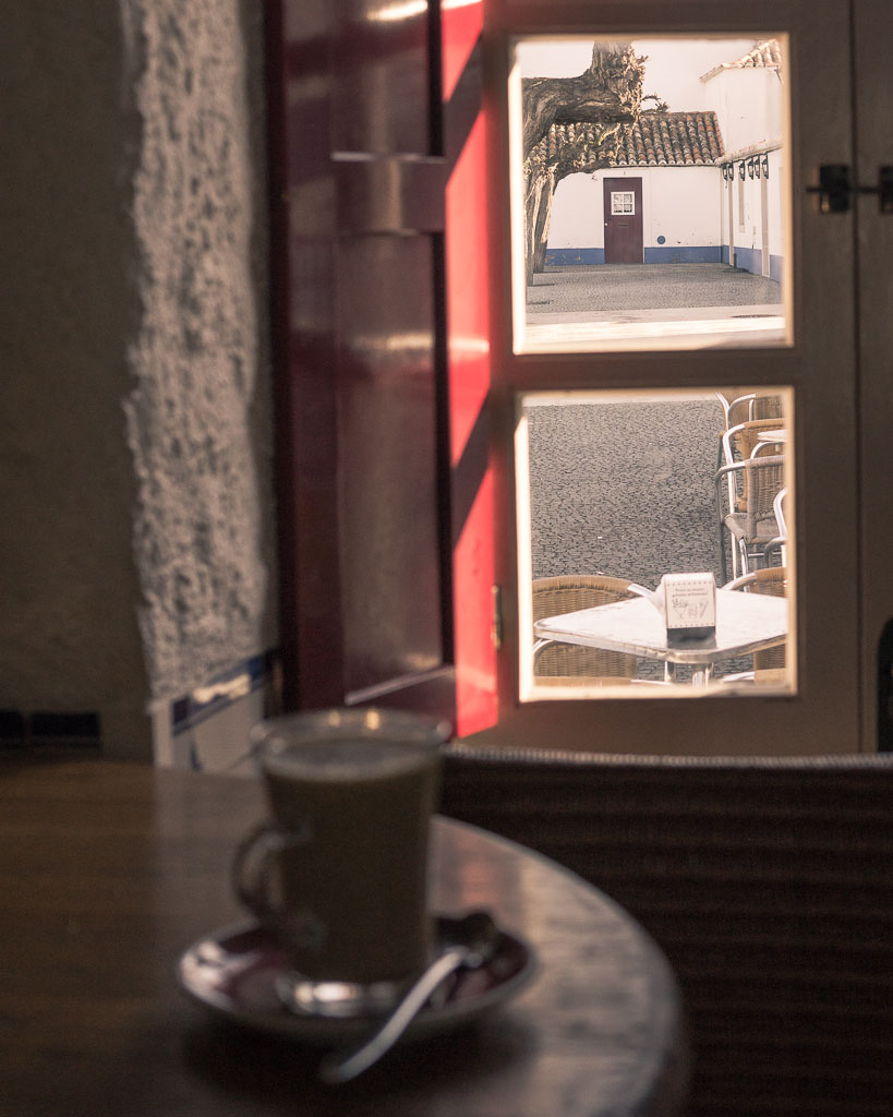
There’s loads of places en route to stock up though, so do that. Most villages we went through had a café to stop in (thanks Portuguese café culture!), you just might have to go for quite a while to get there. Plan to get what you need in the towns, and savour that coffee once you get it.
The end
That last day’s walk to Cape St Vincent is so beautiful – we saw people practising yoga on the cliff edge, and the lighthouse came steadily into view as we walked on flower strewn sandy paths.
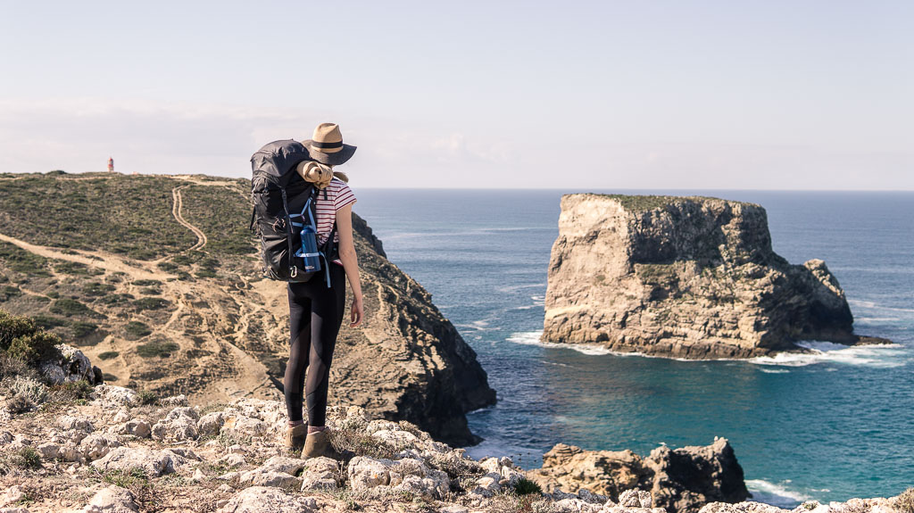
Once you’re there though, there are bus loads of tourists. There’s a restaurant at the lighthouse (which was in fact closed when we got there. But that was off-season). Then the nearest places to stop are a few further km down the road or else carrying on into Sagres (6km from the Cape).
The sunset is awesome from there though so if you can, stick around.
Rota Vicentina Guide: What to see
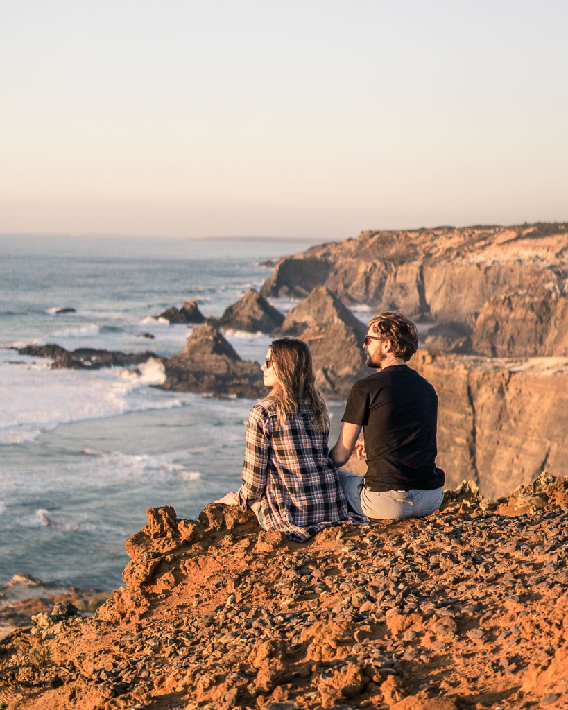
There are multiple highlights of this route. Giant dunes, blood red cliffs, marine wildlife.
There are so many in fact we’ve put our best bits of the Rota Vicentina in another post, which you can read here.
Rota Vicentina Guide: Where to stay
Accommodation is fairly constant on the Rota Vicentina, thank God. We found all our accommodation online and were on a tight budget so did a fair bit of camping (in campsites), which were all good but you don’t really have to camp at all. We mixed it up with staying in AirBnbs, hotels, hostels and the odd Rural Turismo for a blow out and a taste of Portuguese rural living.
Here are some of the best examples:
Camping at Zambujeira do Mar where they had a cosy bar with roaring fire and pizza for dinner.
The self-contained annexe on family-run farm with its own kitchen and coffee machine, where the family bring your breakfast in the morning – even if you want to start walking by 7am!
Arriving to fresh cake and amazing sea views at the laid back surfers’ hostel in Arrifana.
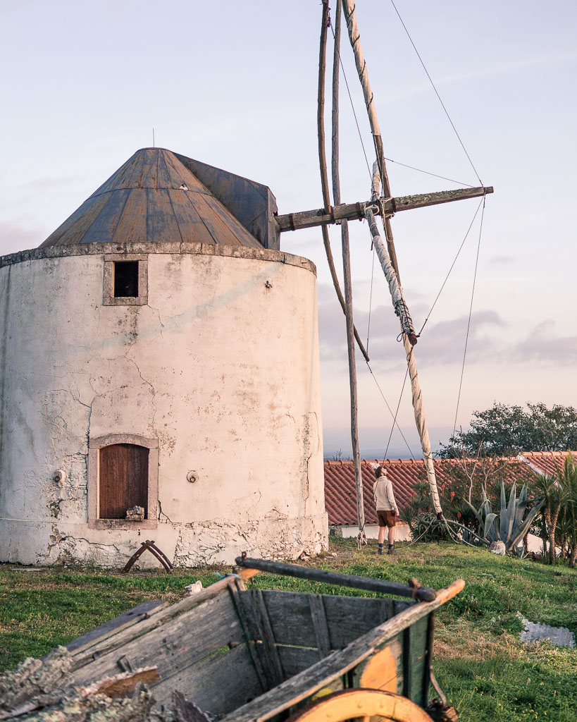
Our favourite stay though was in rural Turismo Moinhos do Paneiro. It’s got an actual windmill and they bake their own bread every morning for guests. So friendly, so rustic and it stuck with us as the most charming place along the whole route.
How to get to the trail
We travelled from Lisbon to Santiago do Cacém by bus to start our journey on the Rota Vicentina. We booked online with Rede Expressos the night before we wanted to travel. It was a direct service and only took 2 hours. The departure point is Lisbon Sete Rios, which has a metro station, so very easy to get to. It is walkable from the city centre as well though!
At the end of our walk, we took a local bus to Lagos and then went onto Seville in Spain. However, if you wish to return to Lisbon, there are services running regularly everyday from Lagos. Rede Expressos sells these online.
If you want to know more: read our personal journal of the Rota Vicentina here.
Is there anything else you’d like to know about the Rota Vicentina? We can always add something to our Rota Vicentina Guide so get in touch!
Follow our adventures on our walks and get social with us:
Instagram
Pinterest
Facebook
Twitter
If you like the post, why not Pin it?

Hey guys,
Awesome overview. I’m doing part of this trail solo. Starting at cercal do alentejo. I’m wondering how did you get from the airport (Lisbon) to the region?
Hi Deena,!
You’ll really enjoy the trail. It’s fantastic! We have updated the blog post to include how to get to the trail. Hope this helps!
From the airport you can easily get the metro to Lisbon Sete Rios where Rede Expressos buses depart from for Santiago do Cacem, and I am sure Cercal… we have just checked and buses are direct to Cercal Alentejo with Rede Expressos!
Have a wonderful walk,
Luke & Nell
looks awesome, did you purchase a guide book and/or trail maps?
thanks,
julie
Hi Julie, it was an amazing walk, and we highly recommend it! We actually only bought the trail maps provided by the Rota Vicentina not-for-profit management company. We could get all of the information that was in the guidebook on the Rota Vicentina website. The maps are what we needed though!
Thanks for commenting,
Luke & Nell
Hi! This is such a helpful guide, especially since I was unsure if hiking the trail in February is feasible! If you had to choose a 3-5 day section to do, any thoughts on what it would be? I’m most interested in the fisherman route, but in order to incorporate a bit of both routes, I was thinking of skipping the first stretch from Porto Covo (which seems to be infamous for walking on sand) and adding on a strech after Odeceixe – so doing Vila Nova de Milfontes to Aljezura. I realize this is a pretty specific question and I imagine by now you might not have much specific memory of the different sections, but if you had any thoughts I’d love to hear them!
Thanks again for this great resource!
Hi Amy, thanks for the comment, sorry for the slight delay, we’ve been up a mountain on snowshoes! :):)
The Fishermen’s Way is brilliant, and we would actually recommend you walk the entire section from Porto Covo to Odeceixe, you will then have the satisfaction of doing the whole of the little trail. Plus that first section from Porto Covo to Vila Nova de Milfontes is sandy in parts, but it’s also scenic – we liked it!
When you get to Odeceixe don’t bother walking out of town to Aljezur, instead get a bus to Aljezur to walk over to Arrifana, or even better get yourself all the way to Arrifana and walk to Bordeira (long, but possibly the best day on the trail). And if you had time from Bordeira you can walk a half-day over to Pedralva the most amazing village. A lot to think about there!
Any other questions, you know where we are! And sorry for the slight delay,
L&N
This was exactly the information I was looking for – thanks so much! (And I’m sure it will be helpful to others who are looking at how to get the most out of the trail in a shorter trip, too!)
Hi there
We would like to do the fishermans trail 5 days
With a pack but need another bag transported to the end of the trip
Any ideas who can do this please
Thanks Anna 🌞
Hi Anna,
https://rotavicentina.com/transportes/ – exactly what you’re after 🙂
Did you use a phone app for maps as well as the paper one? We walked from the Mediterranean to the Atlantic in SW France last summer and found the Topo GPS app invaluable. We are thinking of starting at the Portugal Spain border and doing the Camino in the north in reverse to Lisbon and then finding a route from there to the start of your route.
We both love your website!
Hi guys, thank you for your message! We try to use a paper map when possible just so we use phone battery life for photography and video 🙂 We actually looked at walking the section from Lisbon to the start of the Rota Vicentina, and it’s definitely possible (walking always is, isn’t it?). There would be a lot of road walking, so if you don’t mind that it may be a good journey to go for.
We actually looked at walking Lisbon to Seville via Cabo San Vicente using the Rota Vicentina to the south west point of mainland Europe and then walking the Via Algarviana to Alcoutim on the border with Spain, after which using local paths to get to Seville. Big journey, and not exactly direct, but would be fascinating. 🙂 Any others questions, you know where we are!
Hi, we will be in Portugal for a wedding in August and want to do a quick 2 day hike (staying in a village or Airbnb overnight). Curious if August will be too warm? Would there be a good smaller portion of the trail you would recommend? We would love to be near the sea (fishermen’s way perhaps) and I saw in a previous post that you recommended possibly shortening the trip by getting a bus ride between villages which we would be up for. This looks so amazing I would follow this trip step by step if we had the time. Planning the details of these type of trips are not my forte so any recommendations would be much appreciated.
Hi Alicia, sorry for the little delay getting back to you!
The Portugal coastline is actually OK in August because it gets a cooling Atlantic breeze – coolest place to be in southern Europe I imagine!
Best smaller portion of the trail for a 2 day hike? Almograve to Zambujeira do Mar with an overnight in Cavaleiro. Walk from Almograve after lunch to get amazing light – it was the most amazing section because the rocks are so red!
You coul start at Vila Nova de Milfontes and walk all the way to Cavaleiro on day 1, but it will be a big day, and the best bit at the end of the day you’ll maybe tired for. Your choice!
That’s on the Fishermen’s Way. Alternatively you could walk from Arrifana to Bordeira Beach, stopping at an amazing little farmstay just off route in Chabouco. That would be amazing actually. It’s very dramatic.
Enjoy! Any other questions, you know where we are 🙂
Luke
Hello Luke!
First of all very useful blog with wonderful photos 🙂
We are planing a Portugal trip in May and would like to some sections of RV. We will stay in Santiago do Cacem and Aljezur and plan to do some 1day hikes ( we will have a car). I was considering to do Porto Covo – Vila Nova Milfontes part, however not sure it is doable if we leave a car at Vila Nova, take a bus to Porto Covo and walk the trail to Vila Nova ( the bus arrives at Porto Covo around 11am). They say it should be 7h walk – what is your experience pls? I really dont want to be on rush all day :))
Or maybe you ‘d better recommend some other part of the trail?
From Aljezur we’d probably do some circular routes around Bordeira.
Thank you!
Hi Katarina, sorry for the delay, we’ve been away walking!
Thank you for your message – good to hear you’re off on an explore of the area. A good hike would be to walk from Almograve to Cavaleiro in the afternoon when the light is at its best. Stunning part of the entire trail. Short as well, and you could arrange a taxi back to Almograve afterwards. Or just park in Cavaleiro, and walk north for a couple of hours to then turnaround and enjoy the trail at the best time of day en route back to the car.
You could do another great out and back walk from near Aljezur. Park in Arrifana and walk south on the trail to Praia do Canal Spectacular view.
Go further south and explore Bordeira beach (you’re right!), and also the village of Pedralva. That will be a very good use of time!
Have a great time 🙂
Very nice blog.
Hope this is a positive contribution:
Our best 62 long distance hiking trails – also the Rota Vincentina – in Europe can be found on our website: https://www.oranginas.nl/en
We all walked them ourselves.
Trails in Czech Republic, Slovakia, Slovenia, Italy, Sardinia, Croatia, Turkey, Montenegro,Spain, Portugal, France, Tuscany, Bulgaria, Poland, the Netherlands, Denmark, Sweden, England, Wales, Scotland, Ireland, Germany, Greece, Crete, etc.
Have a nice walk!
This is fantastic – thanks for letting us know! You’ve done some great trails 🙂
Luke
I was thinking of taking your journey arriving on october 19th 2019 and having troubles finding transportation mode from Lisbon to Santiago de cocem? Can you suggest what mode is available at that time as it looks like this is off season time. On your route of your journey there must be multiple hostels you pass and do not need reservations? We were planning on travelling approx 30 km’s give or take per day.
Any advise would be greatly appreciated.
Jeff
Hi Jeff, we walked it in February, probably more off season than October. There are buses throughout the year from Lisbon to Santiago do Cacem. This is the company you need: https://www.rede-expressos.pt/en
There are accommodation’s including hostels along the route.
Have a great walk, and thanks for the message,
Luke
hello, very useful blog. We are planning a trip in February 2020 flying into faro. We want to do about 5 days hiking. On the bus website we can’t see any journeys from Lagos (to get the train from Faro) to porto covo in February at all. IsPOrto covo the best place to start or should we aim lower down for the best sections?
Hi Sharon, get yourself to Vila Nova de Milfontes and walk to Odeceixe, then if you have time hop onto a bus south to Aljezur and walk to Pedralva via Bordeira. Beautiful sections. We used the bus from Lisbon to Santiago do Cacem in February. I think websites are simply not putting the timetables up yet so therefore not selling tickets. You’ll be able to get there, no problem. Check closer to the time, and also you could just go and buy before you ride, the bus network is fantastic in the Algarve and Alentejo with excellent large buses regularly moving around the regions.
Hi Luke,
Thanks so much for writing this blog. My wife and I have been so inspired by your writing that we’re going to Portugal in a few days to walk the same 5 day Rota Vicentina route you wrote in the sawdays.co.uk website. One question I do have though is whether you noticed if there was much mobile phone signal out there, so that you could do a bit of research about the route while you’re out there. Or would you recommend doing all research/booking before leaving GB? I think you said that you booked while out there. Thanks very much for any pointers.
Hi Adam,
We’re so glad you’ve found our stuff inspiring – it’s exactly why we do it. In answer to your question, yes we found mobile signal was generally very good along the RV and were able to book as we went no problem. So it’s really up to you whether you book before or as you go – although we’d’ve thought that if you’re planning peak season it might be trickier to be as spontaenous (we were there in February).
Happy planning,
L&N
Hi Luke and Nell
My husband and myself are planning to do the entire walk in March 2020. I’m a little concerned about the “vertiginous” sections that are mentioned in the northern part of the Fisherman’s Way. Can you tell me anything about that? I suffer from a little vertigo and am worried that I’ll be out there with no alternatives. Any comments would be appreciated. Thanks!
Hello Nora, good to hear from you and glad you’re going to walk the entire Rota Vicentina. There’s no need to worry, because when you are walking the cliff sections, there’s ample space away from the edge for you to walk inland a little. You don’t have to go near to the edge. Hope that puts you at ease. You will only have a fantastic time! And in March it’s going to be glorious. Any other questions, you know where we are 🙂
L&N
Hi, This sounds idyllic! My friend and I are planning a 4-5 night trip this February/March following a bereavement and I think this will definitely lift our spirits. Any suggestions to cut this down to fit the timeline?
Hi Juliet, it’s a perfect coastal walk! We would recommend walking the Fishermen’s Trail section of the RV: Porto Covo to Odeceixe.
Day 1: walk Porto Covo to Vila Nova de Milfontes
Day 2: walk Vila Nova de Milfontes to Cavaleiro
Day 3: walk Cavaleiro to Zambujeira do Mar
Day 4: Zambujeira do Mar to Odeceixe
The coast is also stunning down by Arrifana and Bordeira, plus the village of Pedralva near Bordeira is worth exploring. All on the Rota Vicentina by the way!
Any questions, do let us know,
Thanks,
Luke & Nell
That’s great – thank you so much!
Thank you for the wonderful and clear description of the walk, really helpful. Can you advise about trans baggage opportunities in the area as part of the trail described is not available from most walking companies. Thank you Annette
Hi there! We are planning a 12 day hike starting at Porto Covo ending in Lagos. What is your take on the Southern section of the trail. I see you are suggesting not to stay in Alijezar but to bUs to Arrifana then hike to Bordeira? Stay there for night then next day either explore or stay at Pedralva? Where would you tie into Carrapateira? Any all help great